
California and National Drought Summary for March 14, 2017
Summary
March 17, 2017 - A blast of winter returned to much of the eastern half of the United States with multiple storm systems impacting the Midwest, Mid-Atlantic, and Northeast. Most areas east of the Rocky Mountains had below-normal temperatures, with portions of North Dakota 20-25 degrees below normal. The West was warm with temperatures 5-10 degrees above normal, especially in southern California and Arizona. The coastal areas of Oregon and Washington recorded up to 5 inches of precipitation and the wet pattern extended into Idaho and western Montana. Areas from south Texas up into the Tennessee Valley also recorded good precipitation amounts with some areas of eastern Mississippi and western Tennessee receiving over 3 inches of rain. At the end of the current U.S. Drought Monitor period, a strong Nor’easter moved up the Atlantic coast and brought with it significant rain and snow to much of New England. The impact of this storm will be determined during the next U.S. Drought Monitor period.The Northeast and Mid-Atlantic
Temperatures were cooler than normal over most of the region, with just portions of Virginia experiencing above-normal temperatures this week. By the end of the current U.S. Drought Monitor period, portions of Maryland, Delaware, New Jersey and Virginia recorded several inches of precipitation, especially along the coast. The precipitation allowed for some improvements to the moderate drought in Maryland, New Jersey and Delaware. Further inland, the precipitation was not enough to combat the dryness that the region has been experiencing. Moderate drought was expanded through much of central Virginia this week.Southeast
Outside of Florida and the coastal regions of Alabama, temperatures were 2-4 degrees cooler than normal during the week. The heaviest rains were in Mississippi, Alabama, Tennessee and the coastal regions of North Carolina, with some areas recording up to 3-4 inches of rain. Florida remained fairly dry with only enough precipitation to keep drought from expanding rapidly. In Florida, the moderate drought was expanded to the north in central Florida and abnormally dry conditions spread into more of northern Florida. In North Carolina, moderate drought was expanded while abnormally dry conditions were introduced into North and South Carolina. Georgia had improvements to the extreme drought in the northwest and moderate drought in the west while both Mississippi and Alabama had improvements to drought intensities where the greatest rains fell over the last week. Western Tennessee had reductions to the abnormally dry conditions there; while no other changes were made, precipitation deficits were reduced.Midwest
Cooler than normal temperatures dominated the region with departures of 5 degrees below normal widespread and 10-15 degree departures over the northern Midwest. Most of the region was dry during the week, with only portions of Iowa, southern Minnesota, southern Missouri and western Kentucky recording above-normal precipitation. Slight improvements were made over southeast Missouri and western Kentucky to the abnormally dry conditions.High Plains
Temperatures were mixed over the region. In the western portions, temperatures were above normal, with departures of up to 5 degrees. Most of the rest of the region was below normal, with departures of 5-10 degrees common in Kansas and Nebraska and departures of 10-15 degrees below normal over the Dakotas. Almost the entire region was dry during the week, with only portions of the Dakotas recording precipitation associated with a fast-moving snow event. No changes were made to the drought depiction for the region this week, but conditions are being monitored closely as the short-term indicators have dried out significantly over the last few weeks.South
Temperatures were warmer than normal over Texas and much of Oklahoma with departures of 2-4 degrees while the rest of the region was cooler than normal with departures of 2-4 degrees. Precipitation was greatest over south Texas and into portions of Louisiana and Arkansas. These rains were spotty, and not all areas recorded above-normal precipitation. The rains did allow for a full category improvement over south Texas, and improvements were also made over southeast Oklahoma, northeast Arkansas, and southern Louisiana. Degradation was also noted over northeast Texas where moderate drought expanded and over northwest Louisiana where moderate drought and abnormally dry conditions expanded. Abnormally dry conditions also expanded over west Texas and the panhandle.West
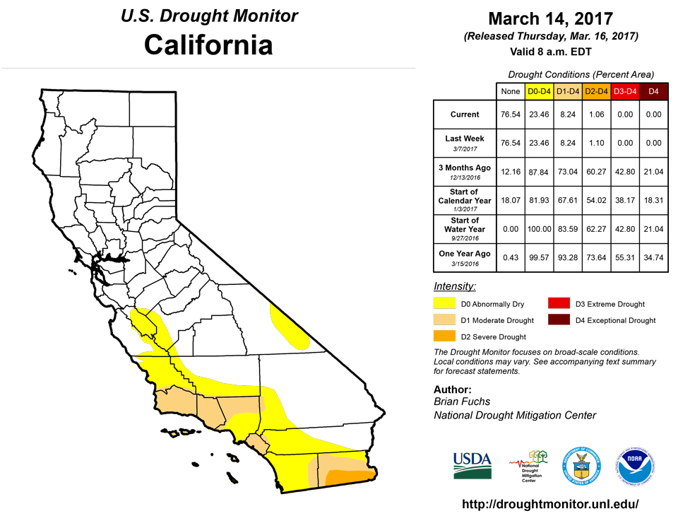
Warmer than normal temperatures dominated the region, with departures of up to 5 degrees common. Precipitation was greatest over the Pacific Northwest and northern Rocky Mountains as snow continued to accumulate in the higher elevations. Minor changes were made over the region this week as severe drought was improved upon over Catalina Island in California and abnormally dry conditions were removed from Utah. In Montana, some abnormally dry conditions were expanded to include more areas where the snow totals for the water year are below normal. In Colorado, severe drought was added in the north while moderate drought expanded in the southeast. It has been very dry on the plains, and conditions will need to be watched closely in the near term.Hawaii, Alaska and Puerto Rico
Precipitation on Puerto Rico did not allow for any degradation this week, and the greatest rains fell in areas not designated as abnormally dry. No changes were made in Alaska. Moderate drought expanded on the Big Island of Hawaii, where pasture conditions are suffering as rains have not developed.Looking Ahead
Over the next 5-7 days, the impact of the winter storm over New England will subside and another system will make its way across the Ohio River valley. Precipitation is anticipated to be greatest over an area from Kentucky to New York. Another series of storms will impact the Pacific Northwest from Washington to California, possibly bringing several inches of precipitation to the area. Temperatures are expected to be warmer than normal over most areas west of the Missouri River valley, with departures of up to 8-10 degrees above normal possible. Cooler than normal temperatures will dominate the eastern seaboard, with departures of 6-9 degrees below normal possible over portions of the Southeast.The 6-10 day outlooks show that the probability of below-normal temperatures will be greatest over Alaska, California, the upper Midwest and into New England. The highest probabilities of above-normal temperatures are centered over Texas, with much of the South and Rocky Mountain regions anticipating warmer than normal temperatures. The highest probabilities of above-normal precipitation will be over California and Nevada and into the Ohio River Valley. Drier than normal conditions are anticipated over Texas and the Gulf Coast as well as in Alaska and the upper Midwest, where the greatest probabilities of below-normal precipitation exist.
Author(s):
Brian Fuchs, National Drought Mitigation Center
Dryness Categories
D0 ... Abnormally Dry ... used for areas showing dryness but not yet in drought, or for areas recovering from drought.Drought Intensity Categories
D1 ... Moderate DroughtD2 ... Severe Drought
D3 ... Extreme Drought
D4 ... Exceptional Drought
Drought or Dryness Types
S ... Short-Term, typically <6 months (e.g. agricultural, grasslands)L ... Long-Term, typically >6 months (e.g. hydrology, ecology)
Source: National Drought Mitigation Center