
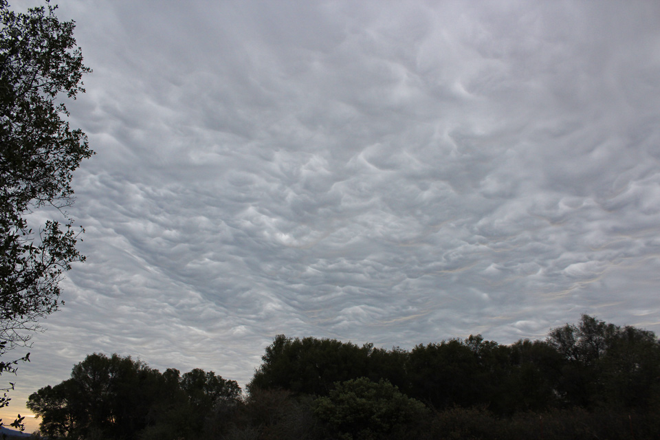
Storm clouds over Mariposa County
Sierra Sun Times file photo
March 21, 2017 - The National Weather Service in Hanford CA has issued a
...SIGNIFICANT WEATHER ADVISORY FOR MARIPOSA...TUOLUMNE... NORTHEASTERN MADERA AND NORTHEASTERN MERCED COUNTIES UNTIL 730 PM PDT...
At 646 PM PDT, Doppler radar was tracking a line of strong thunderstorms about 20 miles southeast of Mariposa northward to the Yosemite National Park South Entrance near El Portal nearly stationary with individual cells moving north northeast at 30 mph. Nickel size hail and winds in excess of 30 mph will be possible with this storm. When thunder roars, go indoors.
Locations impacted include... Yosemite South Entrance, Oakhurst, Yosemite National, Yosemite Valley, Bootjack, Mariposa, Tuolumne Meadows, Batterson, El Portal, Snow Flat, Chilkoot Meadow, Fish Camp, Catheys Valley, Ostrander Lake, Jerseydale, Dana Meadows, Crane Flat, Tioga Pass, Metcalf Gap and Mariposa Grove.
PRECAUTIONARY/PREPAREDNESS ACTIONS... Torrential rainfall is also occurring with this storm, and may lead to localized flooding. Do not drive your vehicle through flooded roadways. Frequent cloud to ground lightning is occurring with this storm. Lightning can strike 10 miles away from a thunderstorm. Seek a safe shelter inside a building or vehicle. To report severe weather, contact your nearest law enforcement agency. They will relay your report to the National Weather Service office in Hanford CA.