
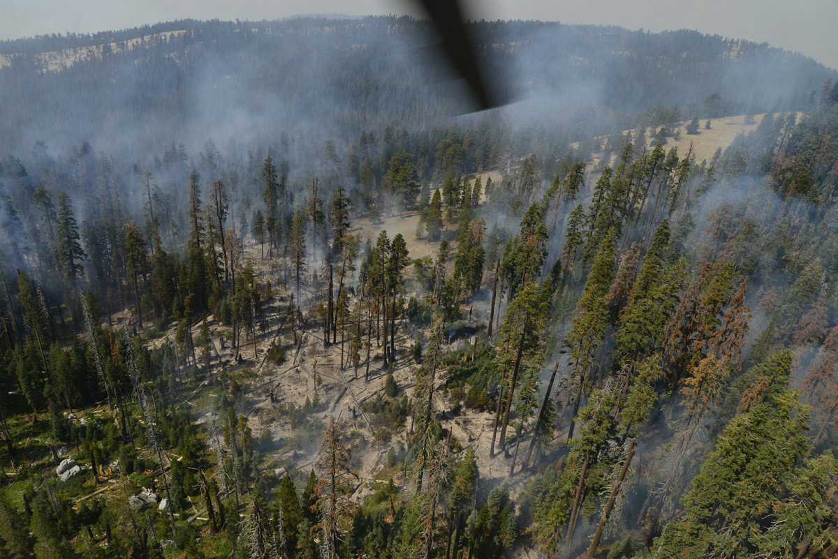
September 30, 2017 - There are multiple fires burning in Yosemite National Park's wilderness. Weather has moderated with lower temperatures and higher relative humidities.
Empire
Discovered: 8/1/17
Location: 1 mile east of Yosemite Ski and Snowboard Area and 3/4 mile south of Glacier Point Road
Size: 6,340 acres
Cause: Lightning
Containment: 85%
Fuels: Red fir
Fire activity was minimal yesterday due to cooler temperatures. Crews will continue to monitor as the weather is expected to become warmer and drier this week. Glacier Point road is open, subject to smoke along the road from Badger Pass to Sentinel Dome Parking Area.
South Fork
Discovered: 8/13/17
Location: .75 miles east of the community of Wawona
Size: 6,970 acres
Cause: Lightning
Containment: 85%
Fuels: Mixed conifer and red fir
Fire remains quiet near the community of Wawona on the west and south flank of the fire. Sections of the north flank and the entire east flank are continuing to burn in the wilderness Fire activity has been minimal this week.
Le Conte
Discovered: 9/12/17
Location: North Side of Hetch Hetchy Reservoir
Size: 1/2 acre
Cause: Lightning
Spread Potential: Low
Fuels: Sparse ground fuels
Strategy: Monitor
Porcupine Campground
Discovered: 9/12/17
Location: Right on Porcupine creek
Size: 1/10 acre
Cause: Lightning
Spread Potential:
Low Fuels: Ground fuels
Strategy: Monitor
Single green tree burning at the base with 10x10 ground fire with continuous wet fuels.
Illilouette Creek
Discovered: 9/12/17
Location: N 37° 40.391' x W 119° 32.505' elevation of 7,570'
Size: 1/10 acre
Cause: Lightning
Spread Potential: Low
Fuels: Ground fuels
Strategy: Monitor
On north aspect of the ridge in a lightning struck snag with some ground fuel on fire. Empire fire operations will monitor this fire.
Starr King
Discovered: 8/2/17
Location: N 37° 42.965' x W 119° 29.588' at approximately 7800 feet elevation
Size: 60 acres
Cause: Lightning
Spread Potential: Low/ Moderate
Fuels: Red fir/ Lodgepole
Strategy: Monitor
Porcupine
Discovered: 8/2/17
Location: N 37° 49.336' x W 119° 34.720' at approximately 8154 feet elevation off Tioga road.
Size: 4.8 acres
Cause: Lightning
Spread Potential: Low
Fuels: Lodgepole/Red fir
Strategy: Monitor
Ribbon
Discovered: 9/26/17
Location: 37 45.3 by119 38.5 at approximately 8154 feet elevation off Tioga road.
Size: 10 x 10
Cause: Lightning
Spread Potential: Low
Fuels: Low brush
Strategy: Monitor
Source: NPS