
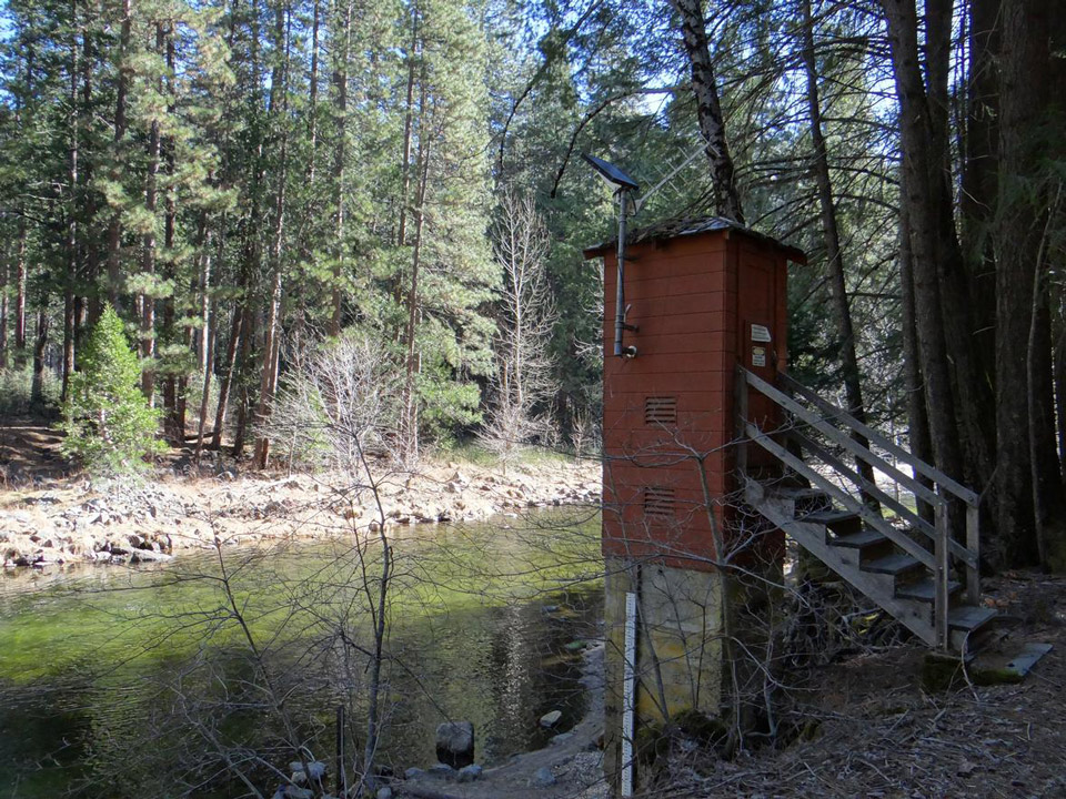
The USGS streamgage on the Merced River located at Pohono Bridge within Yosemite National Park. It measures the daily discharge of water in cubic feet per second. Data from the streamgage may be accessed online.
Source: USGS. Photo Credit: Alex Demas, USGS
October 2, 2017 - The total amount of water flowing past the USGS Merced River Pohono Bridge gauge in water year 2017 was the most recorded since gauge installation in 1916 (101 years of record).
Flows totaled 1.16 million acre-feet surpassing the previous record of 1.06 million acre-feet recorded in 1983.
The water year is defined as October 1st of the previous year through September 30th of the current year. Other large years in descending order were 1995, 2011, and 1969. Source: J. Roche, NPS