
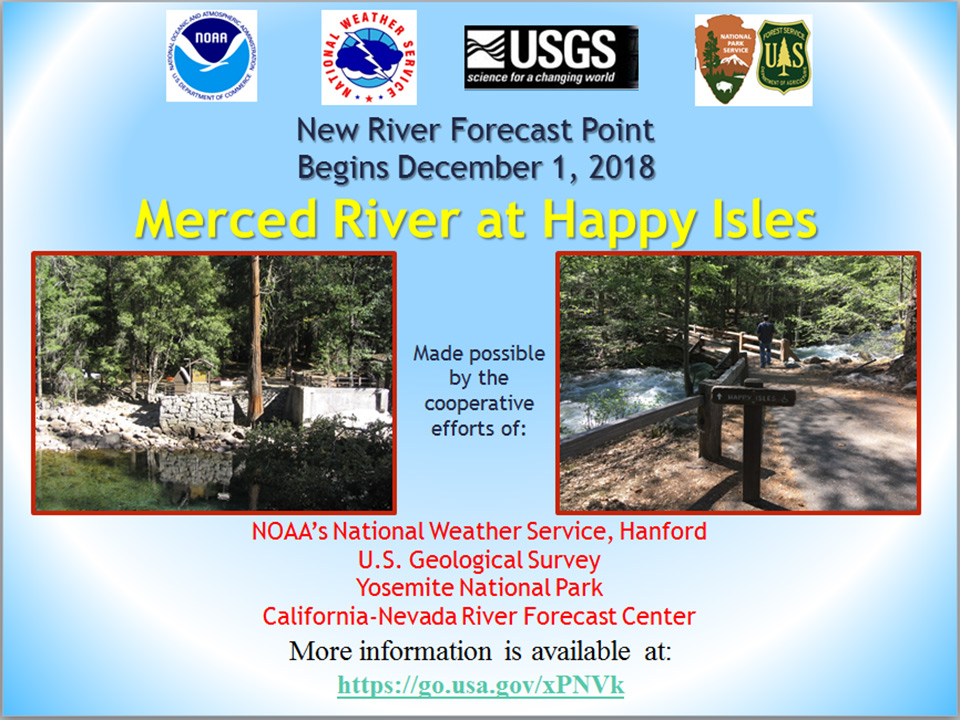
November 2, 2018 - The Happy Isles gage on the upper Merced River in Yosemite National Park will officially become a river forecast point on Dec 1, 2018. NWS flood warnings issued for Happy Isles will help park officials decide when to evacuate downstream locations during heavy rain and Spring snowmelt events. This is a great example of organizations working together for the improved safety and life protection of residents, tourists, campers and hikers within Yosemite National Park.
 Public Information Statement
 National Weather Service HANFORD CA

 ...A new river forecast point to enhance Hydrologic
 Services in Yosemite National Park begins December 1st...

 The Happy Isles gage on the Merced River in Yosemite
 National Park will operate as an official river forecast
 point and will be added to the National Weather Service
 (NWS) Flood Warning Program on December 1, 2018.

 This will be implemented through a collaborated effort
 between the NWS San Joaquin Valley, the California-Nevada
 River Forecast Center (CNRFC), the United States Geological
 Survey (USGS) and the National Park Service (NPS). With
 this new capability, Yosemite National Park officials will
 have an improved resource to utilize during heavy rain and
 Spring snowmelt events to help make critical decisions
 along the Merced River within the park.

 The gage at Happy Isles, which is owned by the USGS, has
 been in existence since 1915. Happy Isles will become the
 second forecast point along the upper Merced River in
 Yosemite National Park, upstream from the current river
 forecast point at Pohono Bridge.  The forecast information
 will be utilized to provide flood impacts and warnings
 along the upper Merced River.  Information and services
 provided by the CNRFC of forecasted river stages at Happy
 Isles will assist emergency officials with their strategic
 planning to evacuate downstream areas that would be impacted
 by flooding.

 Part of the warning services program includes public
 accessible graphical forecasts from the CNRFC and the NWS
 San Joaquin Valley web pages. These graphical forecasts
 include observed river stage and flow data for the previous
 five day period from the USGS, forecast data for the next
 five days from the CNRFC, a description of documented impacts
 for the location, and a map of the gage. Additionally, the
 NWS San Joaquin Valley website will be updated hourly to
 include the latest river stages for Happy Isles. The forecast
 portion of these graphics will originate from the CNRFC
 hydrologic model and will be updated one to four times daily,
 based on river conditions.

 This is a great example of organizations working together for
 the improved safety and the protection of life and property
 of residents, tourists and campers within Yosemite National
 Park. Again, the Happy Isles stream gaging site will become an
 official river forecast point on December 1, 2018.

 Please contact Kevin Durfee (559-584-0583) or Cindy Matthews
 (916-979-3041) of the National Weather Service for any
 questions or feedback on the establishment of this new river
 forecast point.
Source: NWS Hanford