
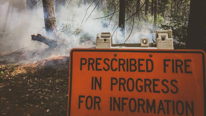
October 14, 2025 - SONORA, California — Firefighters across the Stanislaus National Forest will begin prescribed fire operations with ignitions planned for late October. Allowing for weather conditions, operations are planned through the beginning of November.
On the Mi Wok/Summit Ranger District, crews will burn near Pinecrest in the Experimental Forest area, along Forest Service Road 4N26 (Crabtree Road) and Forest Service Road 4N10 and 4N70.
On the Calaveras Ranger District crews will focus efforts along Forest Service Road 6N58A and Forest Service Road 6N59.
Fire management officials work with California Air Resources Board and Tuolumne County Air Polution smoke specialists to plan prescribed burns. Prescribed burns are conducted when weather is most likely to move smoke up and away from our communities. While prescribed fire managers take significant preventive measures, it’s likely that communities may experience some smoke during or immediately after a prescribed burn.
What does this mean for you?
During prescribed burns, smoke may settle in low-lying areas overnight and in the early morning hours.
- All residents are encouraged to close doors and windows at night to avoid smoke impacts.
- If available, use a portable air cleaner. Air cleaners work best running with doors and windows closed. You can also create a DIY air cleaner.
- If you have a central air system, use it to filter air. Use high-efficiency filters if possible.
- When driving in smoky areas, drivers should slow down, turn on headlights and turn air to recirculating.
- If you have heart or lung disease, asthma, or other chronic conditions, pay attention to how you feel and if symptoms of heart or lung disease worsen, consider contacting your health care professional.
- Visit When Smoke is in the Air for more smoke preparedness resources.
Weather conditions are evaluated regularly up to hours before a burn begins. If conditions warrant, scheduled prescribed fire activities may be canceled.
Prescribed fires are used to reduce overgrown vegetation to help protect local communities, infrastructure and natural resources from the worst impacts of wildfires.
For more information, contact Stanislaus National Forest Public Affairs Officer, Benjamin Cossel at benjamin.cossel@usda.gov.
Summit/Mi Wok Area RX Burn Map
About the Forest Service: The USDA Forest Service has for more than 100 years brought people and communities together to answer the call of conservation. Grounded in world-class science and technology– and rooted in communities–the Forest Service connects people to nature and to each other. The Forest Service cares for shared natural resources in ways that promote lasting economic, ecological, and social vitality. The agency manages 193 million acres of public land, provides assistance to state and private landowners, maintains the largest wildland fire and forestry research organizations in the world. The Forest Service also has either a direct or indirect role in stewardship of about 900 million forested acres within the U.S., of which over 130 million acres are urban forests where most Americans live.
Source: USDA Forest Service