
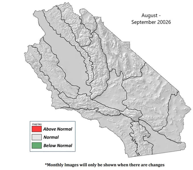
August – November 2026 South Ops Highlights
• Precipitation will likely be near to below normal through September and then near to above normal in October and November.
• Temperatures will likely be above normal through September and then become below normal in October and November.
• There will likely be a below normal amount of Santa Ana wind events in October and November
Full Report
Weather Discussion
August 1, 2026 - High pressure centered off the California Coast brought near normal temperatures to Central and Southern California during the first couple weeks of July. During the last two weeks of July, high pressure migrated back and forth between the Great Basin and the Rockies maintaining near normal temperatures across the region. There were no periods of excessive heat during the month with only brief periods of a little below normal and a little above normal temperatures. Overall for the month, temperatures were within a couple degrees of normal (Fig 1). Southeast flow aloft around the high pressure that migrated back and forth between the Great Basin and Rockies brought isolated monsoonal showers and thunderstorms to the mountains and deserts most days July 12-26. Scattered light showers and sprinkles moved across the entire region July 12-13 and then again July 20th. Most locations received below normal rainfall for July, since thunderstorms were isolated, but there was near to above normal rainfall across Monterey and San Benito Counties as well as the Sierra from Fresno County northward (Fig 2). Normal winds occurred during the month, with afternoon southwest to northwest winds of 15 to 25 mph with gusts to 40 mph over the mountain ridges and through the desert
Fuels Discussion
There have been only minor changes in the drought in July compared to June. There is now moderate drought near the entire portion of the Colorado River instead of just over San Bernardino County. There has also been an increase in abnormally dry conditions over the central deserts from San Bernardino County down to Imperial County. Most of Central California west of the Sierra and most locations across Southern California west of the central deserts continue to have no drought. However, most of San Diego County from the mountains westward and the mountains of Riverside County continue to have abnormally dry conditions (Fig 3). Both the 1000-hr and the 100-hr dead fuel moisture were near normal for the entire month (Figs 4@5). The live fuel moisture is mainly between 70% and 90% which is near to slightly below normal for this time of year (Fig 6).
SOUTH OPS OUTLOOK
Sea surface temperatures off the West Coast are now above normal and little change is expected through September (Figs 7@8). Thus, we can expect above normal temperatures across the region through September. There will likely be a near to below normal amount of monsoonal showers and thunderstorms through September as strong El Nino conditions remain in place. Strong El Nino conditions will likely bring near to below normal temperatures and near to above normal precipitation to the region in October and November. The first storm from the Gulf of Alaska will likely arrive mid to late October. There will likely be a below normal amount of Santa Ana wind events this fall and it is likely that a storm from the Gulf of Alaska will come before the first Santa Ana event. The storms for this fall and winter will likely be warm and atmospheric rivers will be likely. The potential for large fire will be near normal across Central and Southern California through November.
Source: Predictive Services
August To November 2026 Fuels, Fire And Weather Assessment For Central And Southern California Report Finds Temperatures Likely Above Normal And Precipitation Will Likely Be Below Normal Through September With Changes in October
- Details