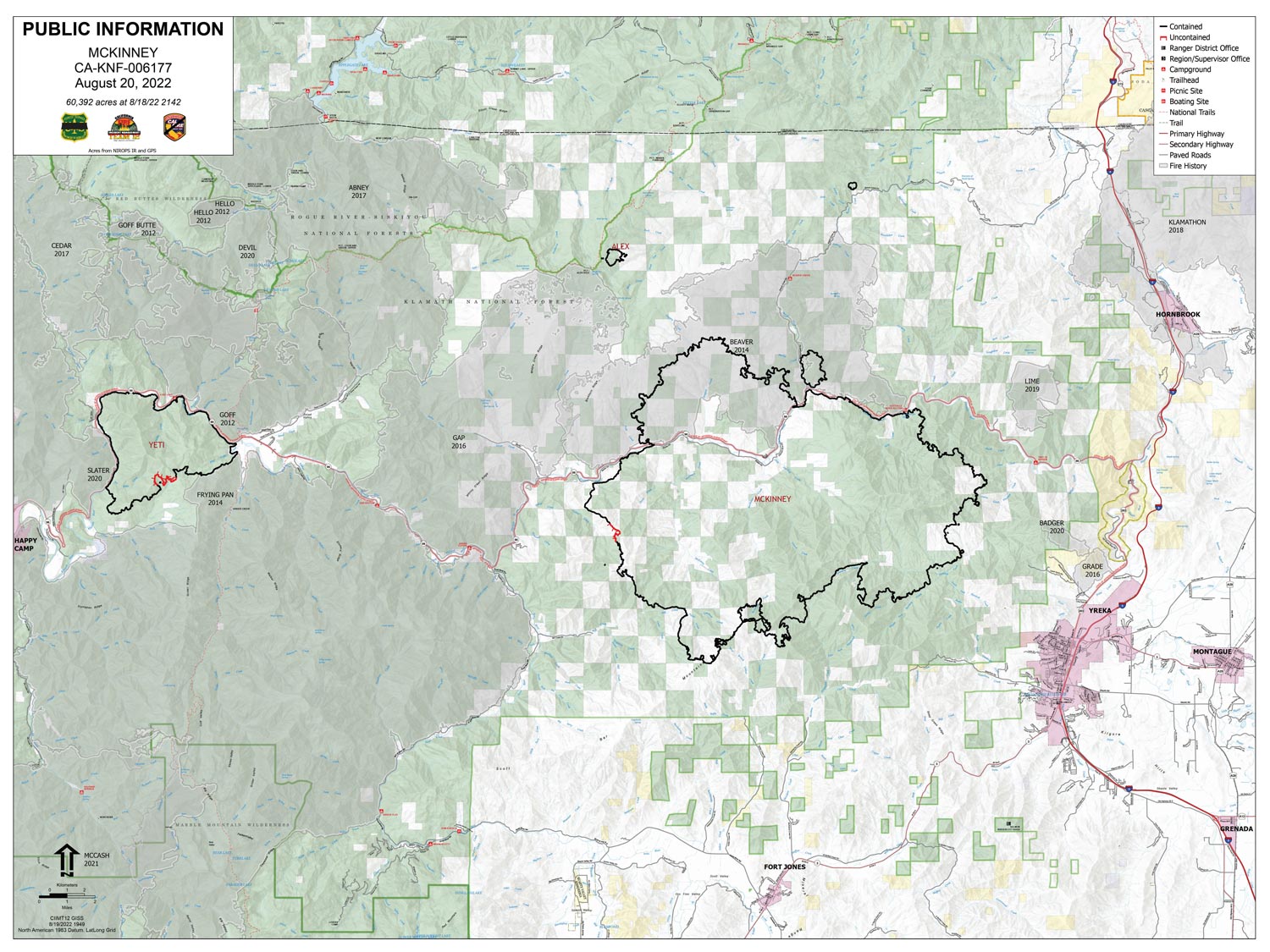
Note: Click here for large map (9MB file size) of today's Operations Overview Map for McKinney Fire
Can zoom in and show much more detail!
Click here for: Siskiyou County McKinney Fire Updates for Saturday, August 20, 2022
Note: Map is 1,500 Pixels Wide.
Shows Uncontrolled Fire Edge, Controlled Line, etc.
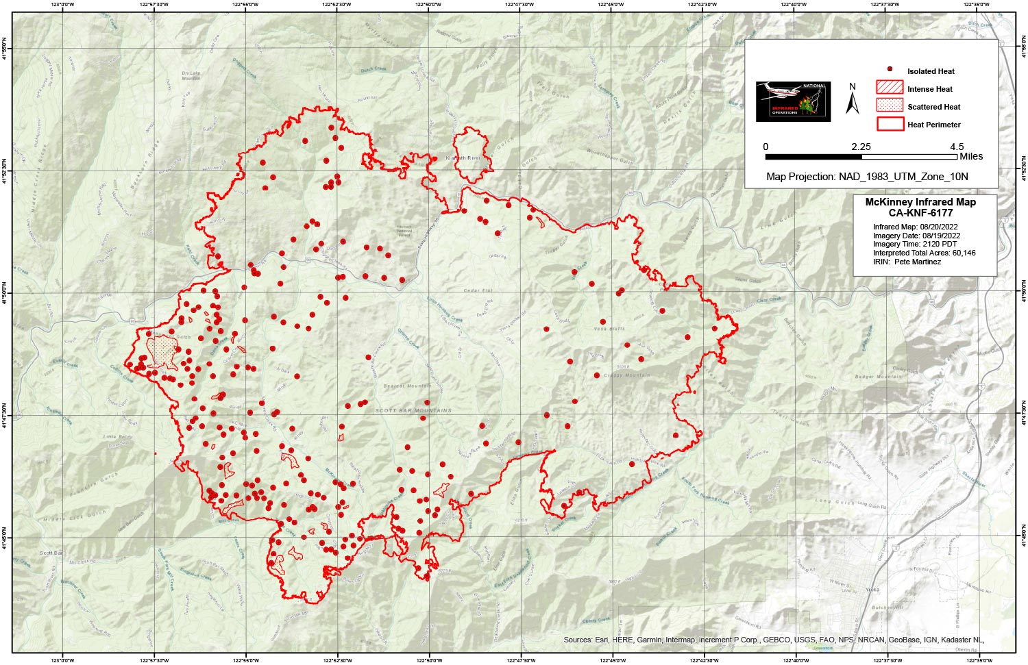
Note: Official Mapping: 60,146 acres.
Flight Notes:
Tonight’s initial perimeter was based off incident’s wildfire perimeter from NIFS. This accounts for the apparent loss of acreage.
No perimeter growth this period.
No intense heat this period.
Pockets of scattered heat exist mainly on the south and west flanks.
Below Map:
Infrared Map for Saturday, August 20, 2022
Note: Map is 1,500 Pixels Wide