
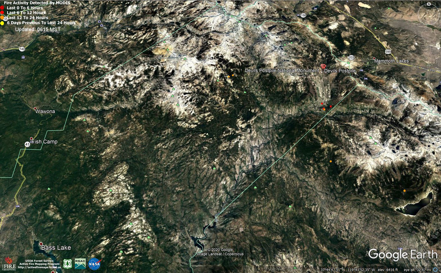
MODIS map of the Creek Fire on Wednesday at 5:15 A.M. PST
Note: 1,500 Wide and older yellow detections removed
MODIS Active Fire Mapping Program Frequently Asked Questions
Update for 7:00 P.M.: (LIVE) Sierra National Forest to Hold a Creek Fire Livestream Incident Briefing with CAL FIRE on Wednesday, November 4, 2020
Update 12:45 P.M.: Sierra National Forest Creek Fire Weather Forecast Video for Wednesday, November 4, 2020
Update 11:50 A.M.: Sierra National Forest Morning Update for the Creek Fire: 378,730 acres and 70% containment.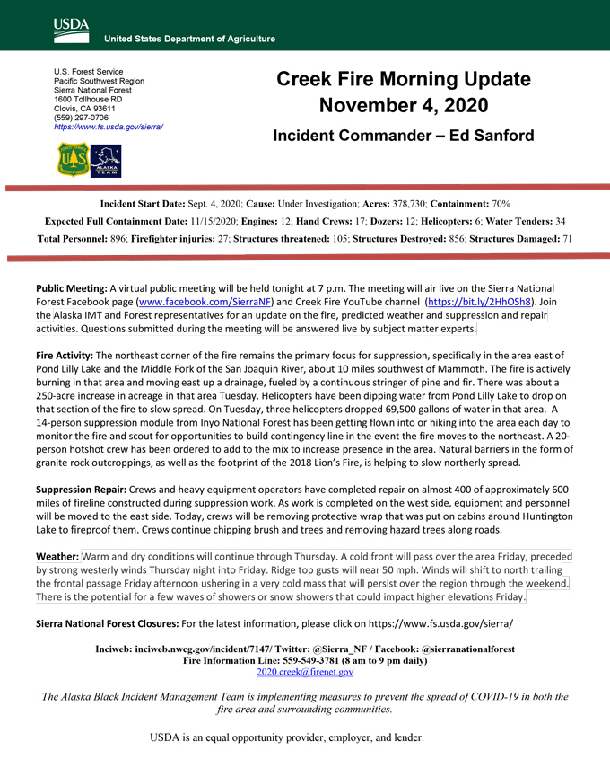
Update 11:40 A.M.: Forest Service Wildland Fire Smoke/Air Quality Outlook Due to the Creek Fire in the Yosemite Area for November 4 & 5, 2020
Update 11:20 A.M.: Sierra National Forest Creek Fire Operations Briefing Video for Wednesday, November 4, 2020
Update 11:15 A.M.: (TONIGHT) Sierra National Forest to Hold a Creek Fire Livestream Incident Briefing with CAL FIRE on Wednesday, November 4, 2020
Update 5:50 A.M.: Sierra National Forest Creek Fire Incident Action Plan Map for Wednesday, November 4, 2020 - Shows Contained Line and Uncontrolled Fire Edge
November 4, 2020 - Overnight infrared mapping has the Creek Fire at 381,376 Interpreted Acres.
Comments and notes on flight:
Tonight, we flew only the Northern half of the Creek fire perimeter and collected LWIR, NIR and RGB imagery. Raw Imagery is being made accessible over a share drive. Heat Perimeter from 20201103 NIROPS products was used to generate tonight’s NIROPS products. For heat detection and perimeter updating we used 16 bit LWIR imagery only.
The most active heat and perimeter growth is in the East and Northeast. The northern edge going to the west is also active and growing but not as much. I closed 2 coves, all on the North East side. Today’s perimeter growth value is larger than yesterdays.
Tuesday Evening Update: 378,503 acres and 70% containment.
Sierra National Forest Creek Fire Updates for Tuesday, November 3, 2020