August 14, 2021 – Ever wonder how the maps are created on wildfires?
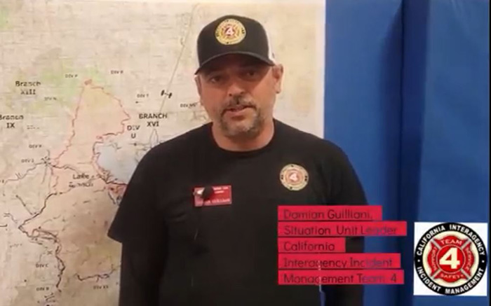
The situation unit (SIT) is responsible for overseeing map production, and incident status input on wildland fire incidents. The SIT's main purpose in fire camp is to provide operations (OPs) with the intelligence gathered from infrared flights and the people working in the field on the fire. SIT then processes the intelligence and transfers it to a map similar to the one you see in the video. The GIS department creates and publishes the maps.
Damion Gulliani the SIT Unit Leader on California Interagency Incident Management Team 4 explains it in the video.
Source: Lassen National Forest