


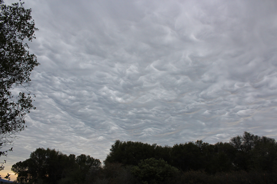
Storm clouds over Mariposa County
Sierra Sun Times file photo
Update: 1:51 P.M. Mariposa County Sheriff's Office:
MARIPOSA COUNTY – The California Department of Transportation (Caltrans) is planning a pre-emptive closure of State Route 140 in to Yosemite National Park due to protect public safety in the Ferguson Fire burn due to a storm event that that is likely to impact the roadway.
The National Weather Service is forecasting 1-3” of rain in a one hour period sometime between 1pm and 4pm today. The closure will be from Cedar Lodge to Bug Hostel/Bear Creek Bridge.
Another storm event is expected between 7pm and 9pm tonight that will involve 11/2”-3” of rain in one hour and crews will again preemptively close the roadway.
Caltrans: #TrafficAlert Mariposa County Storm Event To Close SR-140
Caltrans to close SR-140 to protect safety some time between 1pm and 4pm and 7pm-9pm from the Bear Creek Bridge to Cedar Lodge. Road will be reopened as conditions permit. Check http://quickmap.dot.ca.gov/ for road info.
October 3, 2018 - The National Weather Service Hanford office has issued a Flash Flood Watch for Mariposa, Madera, and Fresno County Foothills- Tulare County Foothills- Sierra Nevada from Yosemite to Kings Canyon- Tulare County Mountains- Including the cities of Coarsegold, Oakhurst, Squaw Valley, Auberry, North Fork, Mariposa, Springville, Three Rivers, Devils Postpile, Florence Lake, Lake Thomas Edison, Tuolumne Meadows, Bass Lake, Fish Camp, Wawona, Camp Nelson, Giant Forest, Lodgepole, Grant Grove, and Johnsondale.
Flash Flood Watch
National Weather Service Hanford CA
1135 AM PDT Wed Oct 3 2018

...FLASH FLOOD WATCH IN EFFECT THROUGH THIS EVENING...

The National Weather Service in Hanford has issued a

* Flash Flood Watch for recent burn areas in central California,
  including the Ferguson burn scar, the Railroad burn scar, and
  the Pier burn scar.

* Through this evening

* Heavy rain can cause flash flooding and debris flows in these
  recently burned areas.

PRECAUTIONARY/PREPAREDNESS ACTIONS...

A Flash Flood Watch means that conditions may develop that lead
to flash flooding. Flash flooding is a VERY DANGEROUS SITUATION.

You should monitor later forecasts and be prepared to take action
should Flash Flood Warnings be issued.
Source: NWS

