


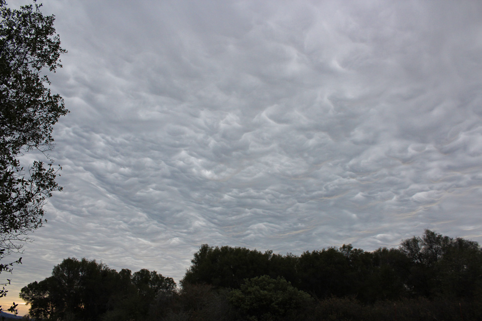
Storm clouds over Mariposa County
Sierra Sun Times file photo
February 4, 2019 - The National Weather Service has issued a Special Weather Statement for Mariposa, Madera, and Fresno County Foothills CA-East-Central San Joaquin Valley CA-West-Central San Joaquin Valley CA-Sierra Nevada from Yosemite to Kings Canyon CA until 1:30 P.M.
Special Weather Statement
National Weather Service San Joaquin Valley CA
1246 PM PST MON FEB 4 2019


Mariposa, Madera, and Fresno County Foothills CA-East-
Central San Joaquin Valley CA-West-Central San Joaquin Valley CA-
Sierra Nevada from Yosemite to Kings Canyon CA-
1246 PM PST MON FEB 4 2019

...SIGNIFICANT WEATHER ADVISORY FOR SOUTH CENTRAL MARIPOSA...
MADERA...EAST CENTRAL MERCED AND WEST CENTRAL FRESNO COUNTIES UNTIL
130 PM PST...

At 1240 PM PST, Doppler radar was tracking a line of strong
thunderstorms from near Oakhurst, across Madera to near Mendota,
moving northeast near 25 mph.

Accumulating 1/4 inch hail and winds in excess of 30 mph will be
possible with these storms. Funnel clouds could alos accompany these
storms. Funnel clouds can briefly touch down and cause damage.

Locations impacted include...
Madera, Yosemite South Entrance, Chowchilla, Mendota, Firebaugh,
Oakhurst, Madera Acres, Yosemite Lakes, Parkwood, Parksdale,
Bootjack, Bonadelle Ranchos-Madera Ranchos, Mariposa, Batterson,
Crane Valley Reservoir, Minarets, Chilkoot Meadow, Fish Camp,
Coarsegold and Panoche Road.

PRECAUTIONARY/PREPAREDNESS ACTIONS...

Breif heavy rainfall is also occurring with the storms, and may lead
to localized flooding. Do not drive your vehicle through flooded
roadways. Watch for debris in roadways.

Frequent cloud to ground lightning is possible with these storms.
Lightning can strike 10 miles away from a thunderstorm. Seek a safe
shelter inside a building or vehicle.

&&

LAT...LON 3655 12035 3672 12058 3762 11989 3740 11928
TIME...MOT...LOC 2040Z 221DEG 23KT 3729 11973

