


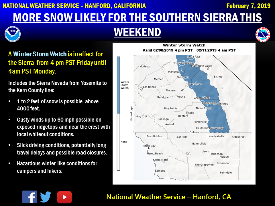
February 7, 2019 - The National Weather Service Hanford Office reports a Winter Storm Watch is in effect from Friday evening into Monday morning for the southern Sierra Nevada north of Kern County.
A couple of back to back storm systems will track through the central California interior during the period and bring heavy snowfall to the mountains above 4000 feet.
Those with travel plans into the Sierra should anticipate slippery, snow covered roads, potentially long travel delays and possible road closures this weekend.
Travel will not be permitted without tire chains.
Hikers over the high country can expect hazardous wintry weather, sub zero wind chill temperatures along with blowing and drifting snow and local whiteout conditions.
Winter Storm Watch
URGENT - WINTER WEATHER MESSAGE
National Weather Service Hanford CA
347 AM PST Thu Feb 7 2019

Sierra Nevada from Yosemite to Kings Canyon-
Tulare County Mountains-
Including the cities of Camp Nelson, Giant Forest, Lodgepole,
and Johnsondale
347 AM PST Thu Feb 7 2019

...A WINTER STORM WATCH IS IN EFFECT FROM FRIDAY AFTERNOON
THROUGH LATE SUNDAY NIGHT...

* WHAT...Heavy snow possible above 4,000 feet. Total snowfall of
  one to two feet is conceivable. Accumulating snow is possible
  in elevations between 3,000 and 4,000 feet. Winds could gust as
  high as 60 mph on exposed ridgetops and near the crest.

* WHERE...Sierra Nevada from Yosemite to Kings Canyon and Tulare
  County Mountains.

* WHEN...From Friday afternoon through late Sunday night. There
  may be a break in snowfall Saturday night.

* ADDITIONAL DETAILS...Travel could be very difficult to
  impossible. The hazardous conditions may impact the morning or
  evening commute. Strong winds could cause extensive damage to
  trees and power lines.

PRECAUTIONARY/PREPAREDNESS ACTIONS...

A Winter Storm Watch means there is potential for significant
snow that may impact travel. Continue to monitor the latest
forecasts for the most up to date information.
Source: NWS
