


February 14, 2019 Update at 10:15 A.M. Caltrans: STATE ROUTE 140 NOW OPEN IN MARIPOSA COUNTY Caltrans has re-opened SR-140 in the area of the
February 14, 2019 Update: Caltrans: From our maintenance crews this morning — we are planning to have State Route 140 in the
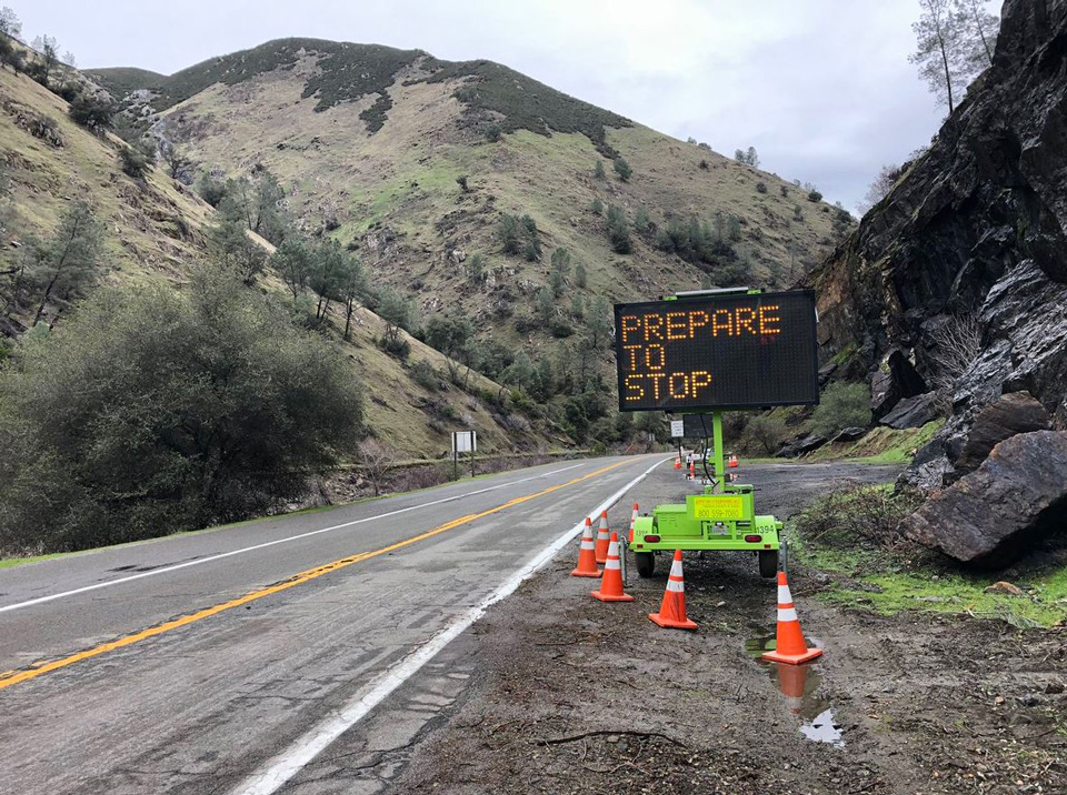
February 13, 2019 -MARIPOSA COUNTY – The California Department of Transportation (Caltrans) is planning a pre-emptive closure of State Route 140 in and near the Ferguson Fire burn scar beginning at 3:00 p.m. on Wednesday, February 13, 2019. This is due to an ongoing storm that could impact the roadway, and the closure is scheduled for the sake of public safety.
The estimated time of opening is dependent upon the impact of the weather. This closure will take place for approximately 17 miles from Bear Creek near Midpines to Foresta Road in El Portal – approximately 4 miles west of the Yosemite National Park entrance.
Risks for this stretch of roadway in storm conditions include mudslides and the movement of debris, such as rocks, onto highway lanes.
Caltrans crews will close the road when the storm begins. After the storm has passed, Caltrans crews will clear any debris and inspect the road before reopening it to traffic.
To stay current on this closure, and other news regarding the impact this storm is having on transportation, please follow District 10 on Twitter (@CaltransDist10), download the Caltrans QuickMap app to your phone, call 1-800-427-ROAD (7623) and check http://www.dot.ca.gov/cgi-bin/roads.cgi for highway conditions.
This closure is scheduled to begin as listed, but is subject to change due to traffic incidents, weather, availability of equipment and/or materials and other issues.
Source: Caltrans

