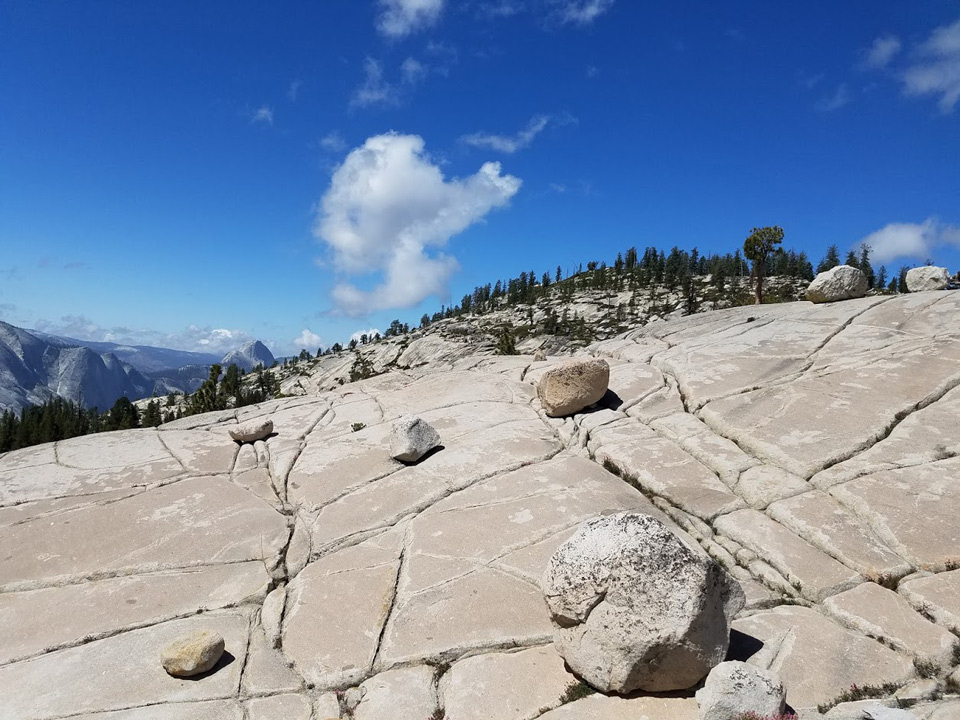
Yosemite Glacier Erratics
Sierra Sun Times file photo
August 14, 2019 - The U.S. Geological Survey recently published a new map showing the extent of the Last Glacial Maximum (Tioga) glaciation in Yosemite circa 20,000 years ago.
Although early maps of the last glaciation in Yosemite date back to John Muir in the 1870's, this comprehensive map was initiated in the mid-1950s by Clyde Wahrhaftig, a geologist with the USGS and U.C. Berkeley. Clyde went on to publish many important papers, win many awards, and be a strong and early advocate for diversity in the geosciences. However, he never finished the Yosemite glacier map before his passing 1994. An allowance in his will to complete the map was granted to Yosemite's geologist in 2006, who subsequently spent another 14 years refining the map using new research tools such as lidar and cosmogenic exposure dating.
The final map shows the extent of the Tioga glaciation in and around Yosemite, including ice flow directions, ice surface contours, and ice thicknesses. An accompanying pamphlet explains many of the unique glacial features found in the park, and describes how the Tioga glaciation continues to influence the distribution of plants and animals in the park.
The map and pamphlet can be found online at https://pubs.er.usgs.gov/publication/sim3414
Source: G. Stock/NPS


