


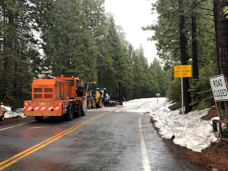
State Route 108, Tuolumne County — at Pinecrest Lake.
Photo credit: Chris Baker/ Caltrans, District 10 file photo
Before you head to the mountains, make sure you have snow chains in your vehicle
November 26, 2019 - BISHOP — The California Department of Transportation (Caltrans) would like to remind the traveling public to practice caution and be prepared during this holiday travel weekend. With a major winter storm hitting the region, motorists need to be ready for whatever conditions the weather may bring.
With snow in the forecast, drivers are reminded to keep a set of snow chains in their vehicles. Even vehicles equipped with snow tires need to keep these on hand as certain chain requirement levels will necessitate their use. Motorists should also keep a snow duster readily available and use it to dust off any snow that may have accumulated on their vehicle since they last drove it. Snow and ice dropping off the top of cars, trucks, and SUVs can create hazardous conditions for other vehicles on the road.
In the event of an extended delay, drivers should also keep the following supplies on hand:
- Snacks & Water
- Flashlight
- Batteries
- Jumper Cables
- Kitty Litter or Sand (for tire traction when stuck)
- Windshield Scraper
- First-Aid Kit
- Full Tank of Gas
Sierra Nevada mountain passes are closed for the extended holiday weekend. This includes Tioga Pass/State Route 120 West, Sonora Pass/State Route 108, and Monitor Pass/State Route 89. Additionally, Caltrans has closed State Route 120 East for the storm. Seasonal closures are now in place for State Route 168 at the Aspendell gate and State Route 158 at the north junction with U.S. Hwy 395 to Rush Creek Bridge. The Crestview Safety Roadside Rest Area has also closed to travelers for the winter season.
During snowy weather, travelers should keep a few tips in mind to stay safe on the roads. When driving with snow chains on, the speed limit is reduced from the posted speed limit down to 25-30 miles per hour. Even if chains are not required, drivers should only travel at a safe speed when roads are wet, icy, or covered in snow. Caltrans would also like to remind travelers to give snowplows enough room to work. Stay at least four car lengths back from a snowplow and refrain from passing them on the highway.
In addition to winter driving conditions, motorists traveling through Inyo County this holiday weekend may experience a backup of traffic near the towns of Olancha and Cartago, approximately 19 miles south of Lone Pine. This section of U.S. Hwy 395 narrows from four lanes to two lanes for roughly six miles. With most travelers expected to head north on Wednesday, November 27th and return south on Sunday, December 1st, motorists should plan their trip accordingly.
Information on road closures, chain control requirements, and potential high wind advisories can be found on the Caltrans QuickMap app and website. QuickMap gives users the latest details on road conditions along with CHP incident information. Both the app and the website include Waze layers built directly into the program. A vital tool for any traveler, QuickMap can be accessed at quickmap.dot.ca.gov or downloaded directly to your smartphone.
Source: Caltrans

