


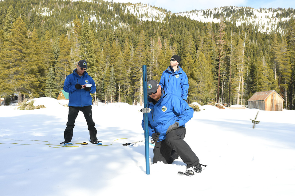
DWR staff at the January 30, 2020 snow survey at Phillips Station, CA.
Credit: DWR/2020
January 31, 2020 - SACRAMENTO, Calif. – The Department of Water Resources (DWR) on Thursday conducted the second manual snow survey of 2020 at Phillips Station. The manual survey recorded 40.5 inches of snow depth and a snow water equivalent (SWE) of 14.5 inches, which is 79 percent of average for this location. The SWE measures the amount of water contained in the snowpack, which provides a more accurate forecast of spring runoff.
“After a good start in December, January saw dry conditions that added little to the Sierra snowpack,” said DWR Director Karla Nemeth. “As climate change continues to impact California’s snowpack, we look to actions described in the recently released California Water Resilience Portfolio to meet the challenges brought by weather variability to California’s water supply.”
In addition to the manual surveys, DWR collects readings from 130 electronic snow sensors scattered throughout the state. Measurements indicate that statewide, the snowpack’s water equivalent is 12 inches, or 72 percent of the January 30 average.
“The foundation of California’s water supply forecasting system remains the manual snow surveys,” said Sean de Guzman, chief of DWR’s Snow Surveys and Water Supply Forecasting Section. “The data gathered from these surveys are used to create seasonal runoff forecasts and define how wet or dry a year is based on the total precipitation, including both rain and snow, and runoff.”
This critical snow survey data and forecasts are used by:
- Operators of flood control projects to determine how much water can safely be stored in a reservoir while reserving space for predicted inflows. This includes the State Water Project, U.S. Bureau of Reclamation for the Central Valley Project, and local reservoir operators.
- Other state agencies, including the Office of Emergency Services and the State Water Resources Control Board, to develop responses to drought or flood emergencies.
- Public and private utilities to determine what percentage of their electric energy generation will be hydropower.
- Water districts to manage surface and groundwater storage, allocate the available supply, plan water deliveries, and coordinate conjunctive use operations.
- Agricultural interests to determine crop planting patterns, groundwater pumping needs, and irrigation schedules.
- Researchers to improve snow melt runoff forecasting methods and perform climate change analyses.
DWR conducts five media-oriented snow surveys at Phillips Station each winter in January, February, March, April and, if necessary, May. On average, the snowpack supplies about 30 percent of California’s water needs as it melts in the spring and early summer.
Additional Resources
California Cooperative Snow Surveys Program Story Map
Video of today’s Phillips survey
Digital photos of today’s Phillips survey
Snowpack readings(View readings for current regional snowpack and historical snowpack comparison)
CDEC precipitation data for the current charts (View Northern Sierra 8-station index for updated rainfall readings in the critical northern portion of the state, as well as the San Joaquin 5-station index and Tulare Basin 6-station index) .
Source: DWR

