


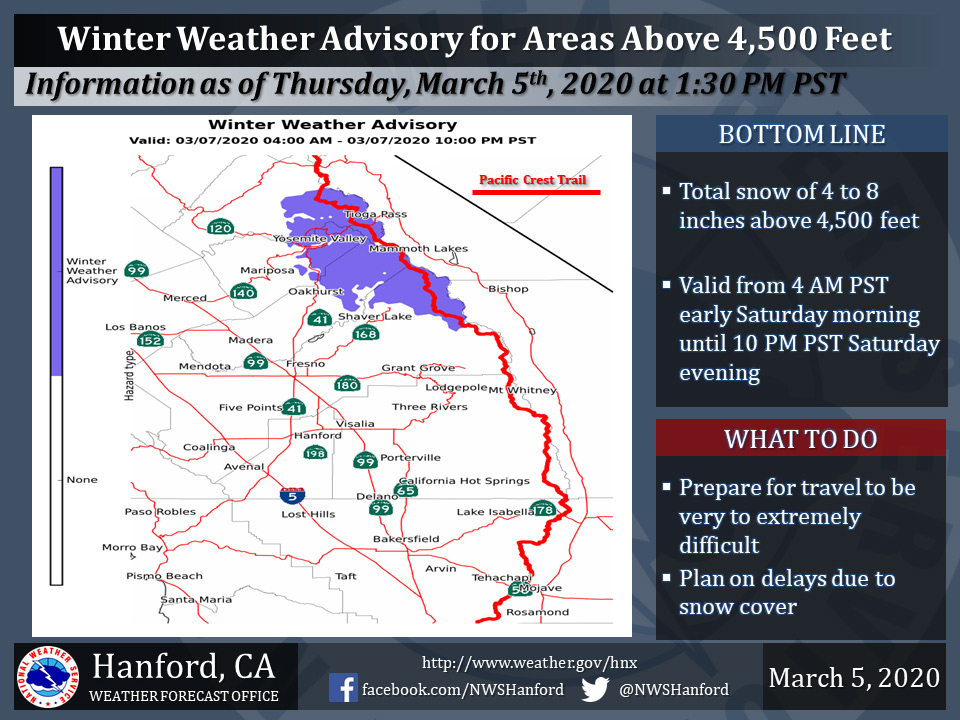
March 6, 2020 - The National Weather Service Hanford Office reports a Winter Weather Advisory is in effect for the Sierra Nevada above 4,500 feet from 4:00 A.M. early Saturday morning until 10:00 P.M. Saturday evening.
A Winter Weather Advisory means periods of snow will cause primarily travel difficulties.
Be prepared for snow covered roads and limited visibilities, and use caution while driving.
A potential for more significant snow accumulation could exist over the Crest of the Sierra Nevada on Saturday.
The majority of this snow will fall during the day on Saturday.
Winds will gust as high as 45 mph on exposed ridgetops and near the crest.
Travel could be very to extremely difficult. If you plan to travel, consider alternate strategies.
If you must travel, remember to carry tire chains, plenty of food, a good deal of water, and warm clothing in your vehicle.
For information on road conditions, including closures or delays, call Caltrans at 1-800-427-7623.
Winter Weather Advisory
URGENT - WINTER WEATHER MESSAGE
National Weather Service Hanford CA
437 AM PST Fri Mar 6 2020


Central Sierra-
Including the cities of Devils Postpile, Florence Lake,
Lake Thomas Edison, Tuolumne Meadows, and Fish Camp
437 AM PST Fri Mar 6 2020

...WINTER WEATHER ADVISORY REMAINS IN EFFECT FROM 4 AM TO 10 PM
PST SATURDAY ABOVE 5000 FEET...

* WHAT...Snow expected above 5000 feet. Total snow accumulations
  around 4 to 6 inches with isolated heavier amounts possible.

* WHERE...Central Sierra Nevada, mainly around Yosemite.

* WHEN...From 4 AM to 10 PM PST Saturday, with the bulk expected
  during the afternoon and early evening hours.

* IMPACTS...Motorists should anticipate travel delays and slick,
  hazardous road conditions, as well as the potential for road
  closures above 5000 feet.

PRECAUTIONARY/PREPAREDNESS ACTIONS...

Slow down and use caution while traveling.

The latest road conditions for the state you are calling from can
be obtained by calling 5 1 1.
Source: NWS

