


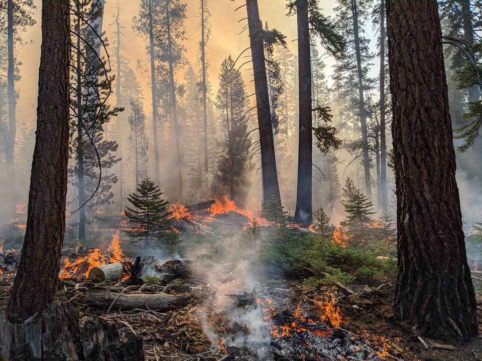
The Moraine Fire
NPS Photo
Considering the location and activity of the Moraine and Rattlesnake Fires, Sequoia and Kings Canyon National Parks are utilizing a less intensive suppression strategy. The Moraine Fire, 575 acres and 70% contained, is being managed with minimal impact suppression techniques while using the natural landscape to assist in efforts. Natural rock features, trails and other natural barriers are acting as containment lines to allow firefighters to focus on other large fires in the region.
The Rattlesnake Fire, 1060 acres and 0% contained, is also being managed using similar tactics as the Moraine Fire. Rattlesnake Fire continues to grow each day but is displaying steady fire activity at this time. Due to this growth, Sequoia National Park has expanded the previous area closure. Beginning at the south boundary of Sequoia National Park with the intersection of the Great Western Divide, north along the Great Western Divide to Kaweah Gap, southeast to Chagoopa Plateau along the base of the Kaweah Peaks to the Kern Canyon, north to Junction Meadow and the Colby Pass Trail (not included), east along the High Sierra Trail (not included) to the John Muir Trail/PCT (not included), south along the PCT (not included) to the park boundary, and west along the park boundary back to the point of origin.
The Generals Highway, the main road through the parks, remains open at this time allowing visitors access to the giant sequoias in both Sequoia and Kings Canyon National Parks.
For more information on Rattlesnake Fire, including a closure map, please go to: inciweb.nwcg.gov/incident/7131/
For more information on the Moraine Fire, please go to: inciweb.nwcg.gov/incident/7089/
About Sequoia and Kings Canyon National Parks’ Fire Management Program
For over fifty years, our mission has been to use the full range of options and strategies available to manage fire in the parks. This includes protecting park resources, employees, and the public from unwanted fire; building and maintaining fire resilient ecosystems; reducing the threat to local communities from wildfires emanating from the parks or adjacent lands; and recruiting, training, and retaining a professional fire management workforce.
Source: NPS

