


NPS photo
April 13, 2021 - April 1 is historically when California’s snowpack is at its greatest on average. This is when scientists throughout the state take one of the most important snow surveys to know how to plan for the coming year. This year, the April surveys measured 63% of average in the Tuolumne River basin and 64% of average in the Merced River basin.
There is a certain elegance to California’s annual weather pattern. Nearly all the precipitation comes from autumn into spring leading to a dry season that gradually melts the mountain snow through the summer sending it downstream when the landscape needs it most. The Yosemite landscape has adapted to this over thousands of years, with plants and animals timing their lifecycles accordingly. Our human landscape, agriculture in particular, has been built around this cycle as well. For both the wild ecosystems and our built environment it is necessary to build in some tolerance. Even though there is a pattern, the amount of precipitation varies from year to year, sometimes dramatically. We have seen over the past decade the lowest snowpack on record and a couple of the deepest.
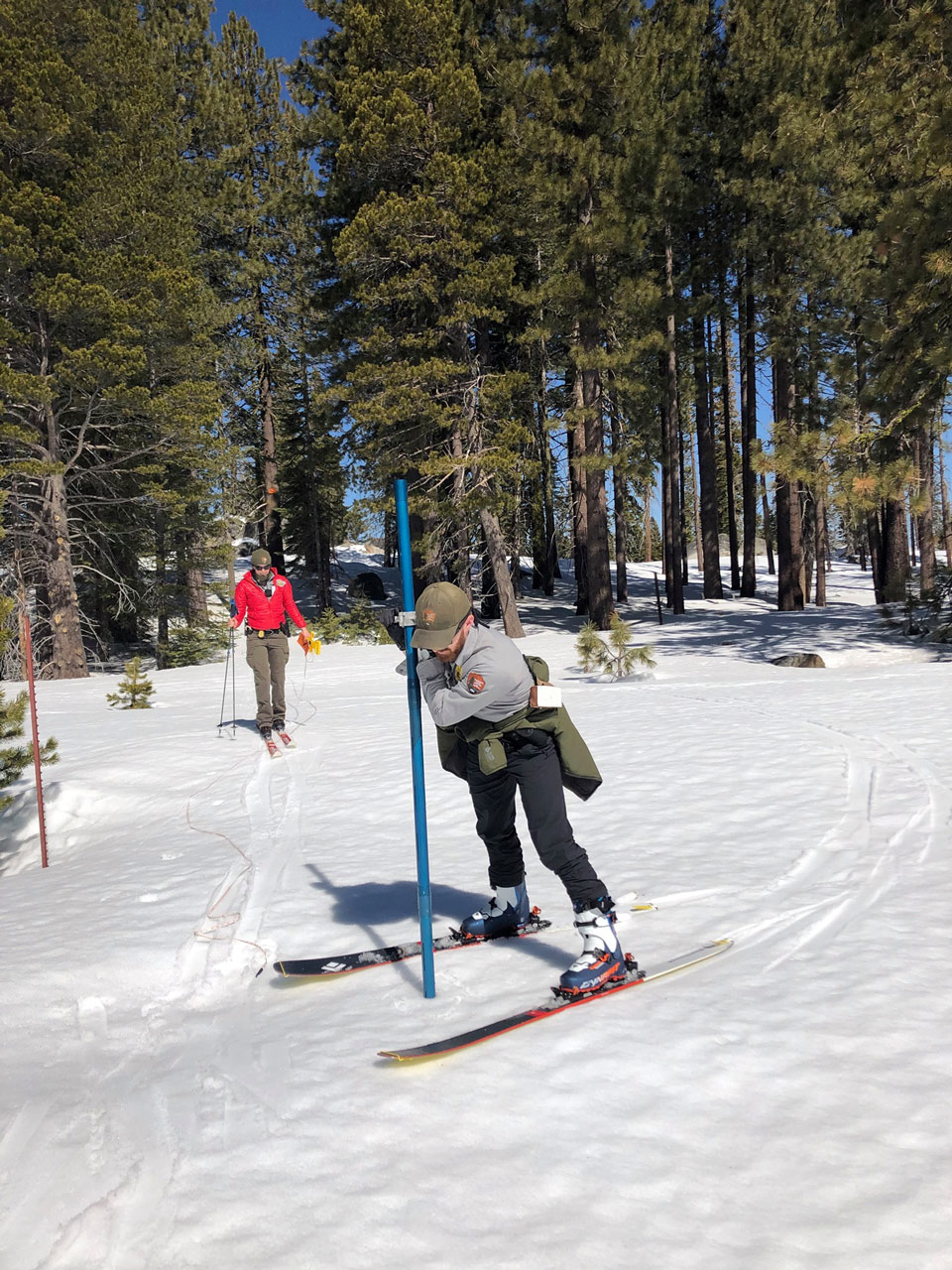
This is where the snow survey becomes extremely valuable. Trying to plan water usage without it would be like going on a road trip in a car without a gas gauge (or a battery monitor for the electric vehicle folks). There are over three hundred monitoring sites throughout the state, thirteen of which are in Yosemite. New technologies such as remote sensing “snow pillows” and aerial laser measurements are being used and developed but the data still largely comes from a time-tested method of going out into the field and measuring the depth and water content of the snow in consistent locations.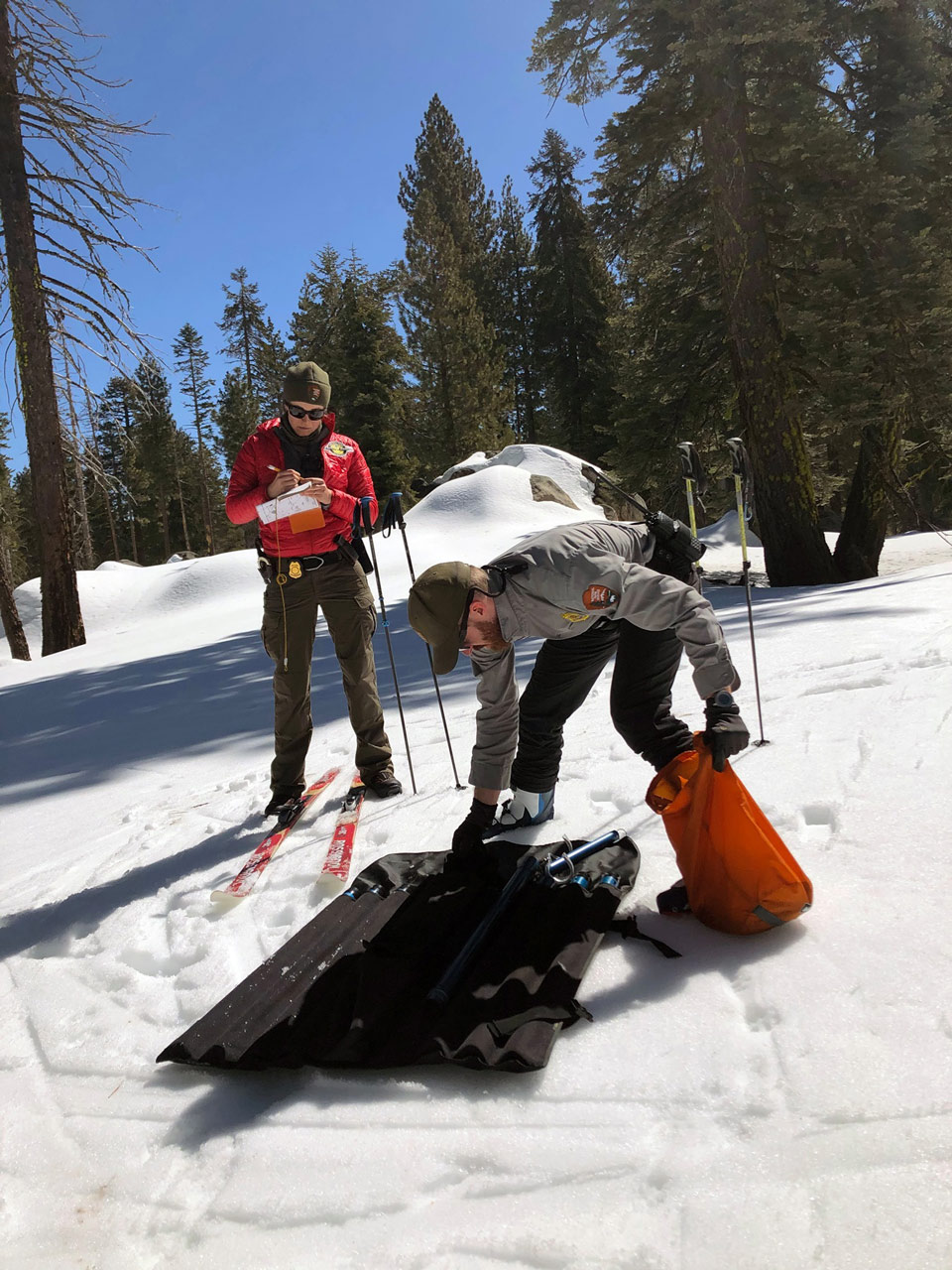
NPS photo
Source: NPS

