


Includes Eastern Madera and Mariposa Counties
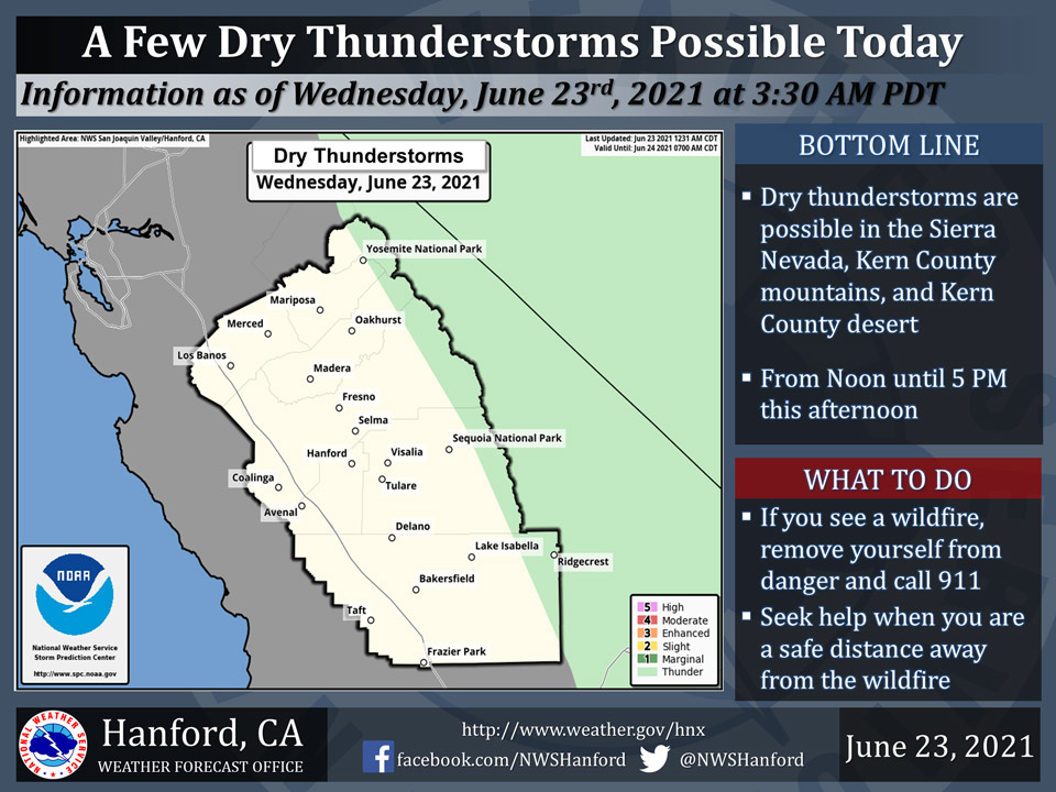
June 23, 2021 - The National Weather Service Hanford Office reports a few dry thunderstorms are possible in the Sierra Nevada, Kern County mountains, and Kern County desert this afternoon.Dry thunderstorms are thunderstorms that produce little or no precipitation at the surface.
In combination with dry fuels (i.e. vegetation), dry thunderstorms can ignite wildfires with cloud to ground lightning strikes.
  Area Forecast Discussion
  National Weather Service Hanford CA
  323 AM PDT Wed Jun 23 2021

  .SYNOPSIS...
  Temperatures will average close to normal over much of the
  district through Friday. Hot weather will return this weekend
  and continue through at least next Wednesday. There is a slight
  chance of afternoon and evening dry thunderstorms in the mountains
  Thursday and Friday and again Tuesday and Wednesday of next week.

  &&

  .DISCUSSION...
  High temperatures in the San Joaquin Valley and Kern Desert areas
  have dropped below the century mark for the first time in a
  while. We are going to get a couple of more days of reprieve from
  the heat before we set up for a long duration significant heat
  event starting back again on Saturday.

  Upper level low pressure system is pumping ocean cooled air into
  the SJV as it sits nearly stationary off the CENCAL coast. The
  upper level low is forecast to move inland and weaken by Saturday.
  Upper level ridge of high pressure will build in over the PAC NW
  and take over the weather pattern through most of next week as
  temperatures will increase across the region and remain very hot.
  As the axis of the ridge shifts, we will see an influx of sub
  tropical moisture move north across the Sierra and even into the
  SJV by Tuesday. Most of this moisture will be in the mid levels of
  the atmosphere at around 12-15 thousand feet. Unfortunately we
  will not see much heavy rain in the mountains as most of the
  precip will evaporate before it hits the ground as will be in the
  form of virga. If we get enough mid level instability we will see
  thunderstorms producing dry lightning. This will be rather
  unfortunate because of the very dry fuels across the region due to
  the ongoing drought. Wild fire starts are a possibility.

  As we get a better idea of where the moisture is tracking, we will
  be able to focus on where the lightning strikes will be and
  provide a more detailed forecast. Attm, the best convection
  chances will be next Tuesday and Wednesday. We are going to see
  some isolated storms along the Eastern Kern county border today
  and a little more widespread on Thursday across the Sierra, mainly
  north of Kings Canyon. Models are advertising a possible tropical
  disturbance developing in the Gulf of Mexico next week that will
  have an impact on available sub-tropical moisture available for
  Sierra convection. So in the meantime, enjoy the cooler temps
  through Friday.
Source: NWS
