| Cost | $608,982 |
|---|---|
| Grantee | Mariposa County Fire Safe Council |
| Location | Mariposa County |
| Size | 213 acres |
| Timeline | August 2021–January 2024 |
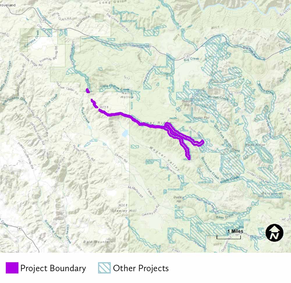
July 15, 2021 - The Mariposa County Fire Safe Council, in partnership with the landowners, will treat 213 acres across Stanislaus National Forest and Bureau of Land Management lands along the northern boundary of Mariposa County, near the communities of Greeley Hill and Coulterville. The project will expand and widen a current fuel break that ties into the National Disaster Resiliency projects located on the Tuolumne County side of the ridgetop and lies on the watershed boundary between the Merced and Tuolumne River Watersheds.
Tying in with other ongoing work and existing fuel breaks, the project will ultimately result in a 400-foot fuel break along the entirety of the ridgetop. This will improve the abilities of land managers and firefighting agencies to contain and suppress wildfires and protect nearby communities as well as forest and watershed resources. Project planning was completed with support from an SNC Watershed Improvement Program planning grant. The Project is named in several strategic fuels plans and is a high priority project of the South West Interface Team collaborative.
The project is located along the northern boundary of Mariposa County near Greeley Hill and Coulterville. Click map to enlarge.
Additional Information
- Project 1328 details (pdf document)
- Mariposa County Fire Safe Council website
- National Disaster Resiliency Competition
Source: Sierra Nevada Conservancy


