


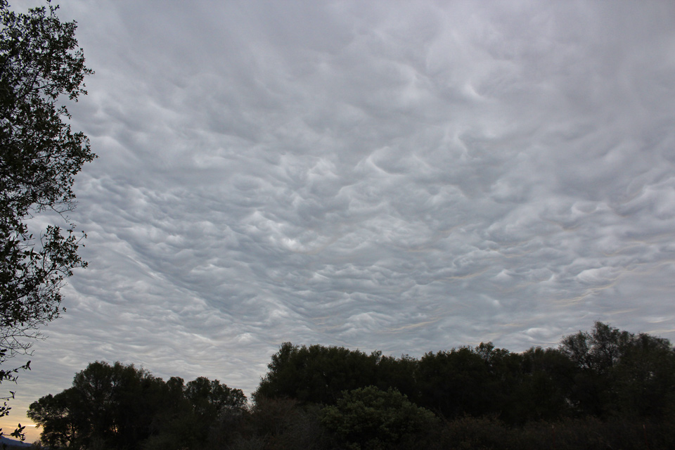
Storm clouds over Mariposa County
Sierra Sun Times file photo
January 16, 2023 - The National Weather Service Hanford Office releases a Special Weather Statement:
Special Weather Statement
Special Weather Statement
National Weather Service San Joaquin Valley CA
623 AM PST Mon Jan 16 2023

CAZ302-303-306-307-311-312-317>320-323>327-161500-
Fresno-Clovis CA-Yosemite Valley CA-San Joaquin River Canyon CA-
Fresno-Tulare Foothills CA-Yosemite NP outside of the valley CA-
Mariposa Madera Foothills CA-Upper San Joaquin River CA-Planada -
Le Grand - Snelling CA-Visalia - Porterville - Reedley CA-Caruthers -
San Joaquin - Selma CA-Merced - Madera - Mendota CA-
Kaiser to Rodgers Ridge CA-Mariposa-Madera Lower Sierra CA-Hanford -
Corcoran - Lemoore CA-Fresno-Tulare Lower Sierra CA-
623 AM PST Mon Jan 16 2023

...Strong thunderstorms will impact portions of Mariposa, central
Madera, southwestern Tuolumne, northeastern Kings, northwestern
Tulare and central Fresno Counties through 700 AM PST...

At 619 AM PST, Doppler radar was tracking strong thunderstorms along
a line extending from 6 miles east of Smith Station to near Lemoore.
Movement was east at 30 mph.

HAZARD...Wind gusts up to 50 mph. Flooding rain.

SOURCE...Radar indicated. Multiple surface observations reporting
         strong winds.

IMPACT...Gusty winds could knock down tree limbs and blow around
         unsecured objects. Torrential rainfall is also occurring
         with these storms and may lead to localized flooding. Do
         not drive your vehicle through flooded roadways.

Locations impacted include...
Fresno, Visalia, Clovis, Tulare, Hanford, Yosemite South Entrance,
Lemoore, Sanger, Reedley, Selma, Dinuba, Orosi, Parlier, Kingsburg,
Farmersville, Orange Cove, Oakhurst, East Orosi, Traver and Yosemite
National.

PRECAUTIONARY/PREPAREDNESS ACTIONS...

If outdoors, consider seeking shelter inside a building.

These storms may intensify, so be certain to monitor local radio
stations and available television stations for additional information
and possible warnings from the National Weather Service.

&&

LAT...LON 3622 11916 3628 11985 3780 12010 3783 12008
      3776 11994 3776 11990 3777 11986 3778 11987
      3781 11987 3785 11982 3789 11982 3794 11943
TIME...MOT...LOC 1419Z 268DEG 28KT 3779 12001 3636 11978

MAX HAIL SIZE...0.00 IN
MAX WIND GUST...50 MPH
Source: NWS
