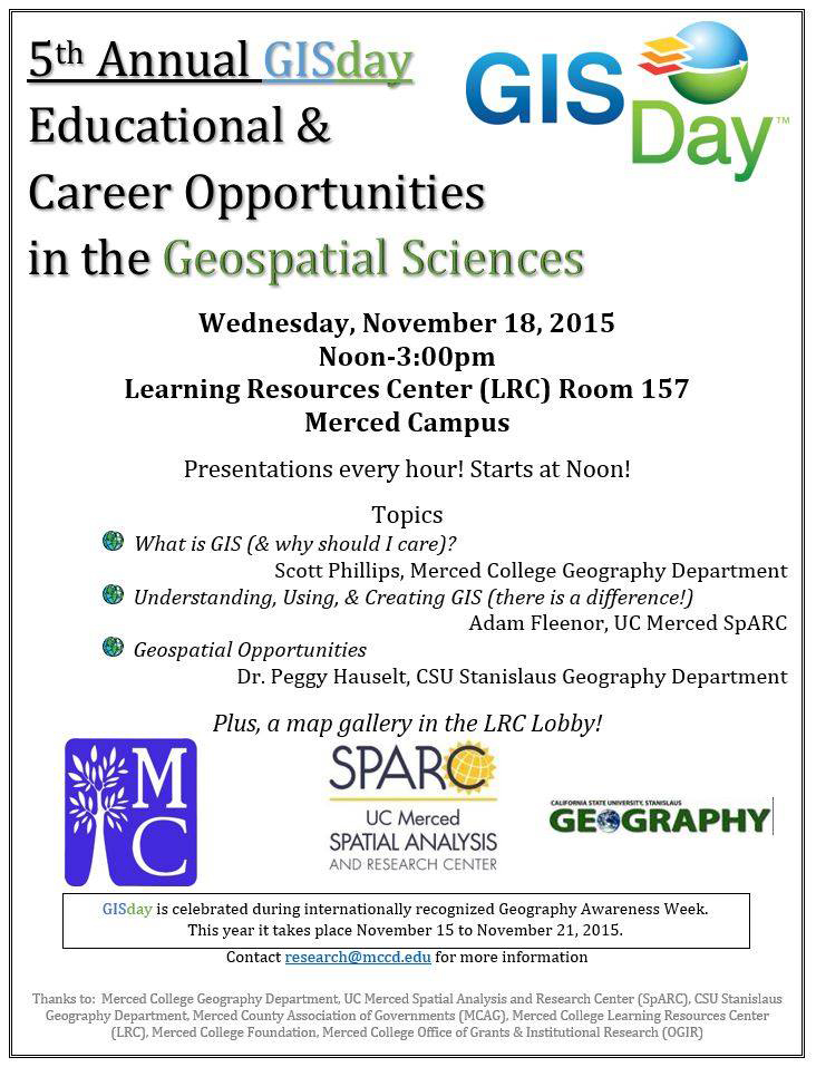
The event, which is observed with similar activities around the world during Geography Awareness Week (November 15-21), will feature lectures and presentations, as well as a gallery of maps.
GISday is free and open to the public and will be held in the Merced College Learning Resources Center from noon to 3 p.m.
According to Merced College geography professor Scott Phillips, “For nearly any field of study, an understanding of the technologies used to create maps and understand spatial relationships is becoming an increasingly important skill.”
GIS technologies link information to geographic locations. Using an electronic or digital map, GIS records, stores, and analyzes multiple layers of spatial data and relates this data to locations of interest. These layers contain data in the form of points (e.g., addresses, locations, etc.), lines (e.g., streets, highways, etc.), polygons (e.g., areas, political jurisdictions, etc.) and images that “can be viewed in various combinations to identify and display underlying spatial relationships.”
Focusing on educational and career opportunities, the event includes Phillips’ presentation “What is GIS (And Why Should I Care?),” UC Merced Spatial Analysis and Research Center’s Adam Fleenor’s topic “Understanding, Using, & Creating GIS,” and a presentation by CSU Stanislaus geography professor Dr. Peggy Hauselt on “Geospatial Opportunities.”
GISday is sponsored by Merced College’s Geography Department, Learning Resources Center, the Office of Grants & Institutional Research, the Merced College Foundation, UC Merced Spatial Analysis and Research Center (SpARC), CSU Stanislaus Geography Department, and the Merced County Association of Governments.
Source: Merced College