


Watch for Falling Rocks!
March 2, 2025 – Yosemite National Park officials announce that geologists from the National Park Service and U.S. Geological Survey have updated Yosemite’s rockfall database through 2024. Interactive maps show rockfall locations and tell the accounts of rockfalls dating back to 1857. You can learn about when rockfalls have happened, how big they were, and what caused them, with triggers ranging from storms to earthquakes to thermal expansion. The maps include photos and videos, a time slider, and even a 3D map to explore.
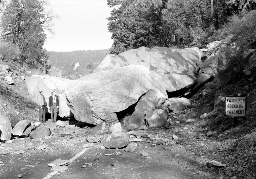
This rockfall onto the Big Oak Flat Road in April of 1948 is just one of thousands that have occurred in Yosemite’s historical time. Rockfalls are incredible natural events that shape Yosemite’s extraordinary landscapes, but they can also damage infrastructure and pose risk to people. You may have seen or heard a rockfall during a visit, but did you know that you can read stories from all of the park’s historical rockfalls online?
Careful documentation of rockfalls improves our understanding of these complicated events, helping to increase public safety.
To explore the maps and learn more about rockfalls in Yosemite, visit: https://experience.arcgis.com/.../2D-Map-of-rock-falls.
Source & photo: NPS
