


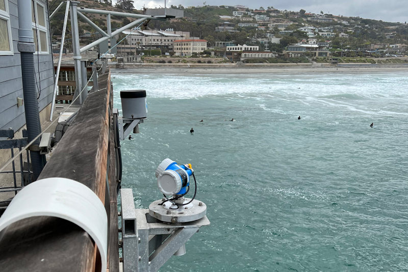
A microwave water level sensor measures water levels at NOAA’s La Jolla, California tide gauge. Credit: NOAA
November 5, 2026 - Last week, communities along the California coast felt the effects of this year’s strong El Niño, as high water levels inundated the state’s low-lying areas. NOAA tide gauges throughout the state captured these water levels with some locations seeing their highest readings ever, with observations that date back more than 100 years.
Record Water Levels
From October 24 to 30, 2026, locations on the California coast experienced heightened water levels — which are measured above Mean Higher High Water (MHHW), the average of the highest tides for that location. Four locations reached their all-time highest observed water levels:
- San Diego, CA - 2.80 feet above MHHW
- La Jolla, CA - 2.65 feet above MHHW
- Los Angeles, CA - 2.70 feet above MHHW
- Santa Barbara, CA - 2.65 feet above MHHW
Other locations saw water levels break into their top-ten highest observed:
- Santa Monica, CA - 2.72 feet above MHHW (2nd highest on record)
- Port San Luis, CA - 2.35 feet above MHHW(4th highest on record)
- Monterey, CA - 2.20 feet above MHHW (7th highest on record)

NOAA’s tide gauge at San Diego, California, captured its highest water level on record, 2.80 feet above Mean Higher High Water (MHHW) on October 27, 2026. Credit: NOAA
Above-Normal Tides and El Niño
These record water levels are the result of several factors coming together to impact California’s coast. The first factor is higher-than-normal astronomical tides caused by changes in the gravitational pull of the moon and sun on the ocean depending on their position relative to the Earth. A perigean spring tide occurred, when the moon was full and closest to the Earth.
Pushing water levels even higher is the effect of El Niño-driven Kelvin waves. These slow-moving, large-scale, oceanic waves bring pulses of warm water eastward towards the Pacific Coast of the Americas, temporarily raising the sea level by 6-12 inches or more over several weeks as they propagate up the U.S. West Coast.
An ongoing marine heatwave is also a contributing factor. Warmer water takes up more space than cold water, a concept known as thermal expansion, causing water levels to rise higher and reach further inland.
The combined effects of these factors have driven water levels to record heights, flooding roads, inundating homes and businesses, and disrupting daily life.
Potential for Record High Water Levels
These record water levels may not be the end of the story for California’s coastal communities. NOAA predicts above-normal high tides will occur from November 22-27, 2026, and December 22-26, 2026, bringing an increased risk of flooding to the state.
These dates fall during a perigean spring tide, when the moon will be full and closest to the Earth and approaching the winter solstice, when the sun is at its maximum declination relative to the equator, and Perihelion, when the Earth is closest to the sun.
More Kelvin waves are likely to occur throughout the fall and winter due to ongoing El Niño conditions, which would keep water levels elevated. NOAA’s National Weather Service Winter Outlook predicts wetter-than-average conditions for the southwestern U.S. which may further exacerbate coastal flooding along inland coasts where excessive runoff from increased storm activity can further add to already elevated water levels.
Communities can use NOAA's Monthly High Tide Flooding Outlook to see what days in the coming weeks-to-months have an increased risk of coastal flooding based on astronomical tides and changes in seasonal patterns. Weather conditions or the effects of El Niño may worsen or cause flooding outside of the dates listed in this product. Communities should refer to the National Weather Service for the most up-to-date coastal flood forecasts, advisories, and warnings. During a flood event, communities can use NOAA's Coastal Inundation Dashboard to monitor water levels in real-time.
Source: NOAA
