


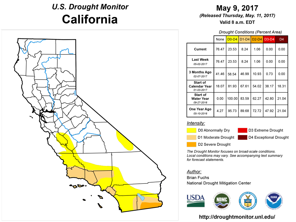
California and National Drought Summary for May 9, 2017
Summary
May 11, 2017 - The Midwest continued to be inundated with heavy rains from southern Kansas through Missouri and into southern Illinois and Indiana. Amounts associated with the Midwest rains were generally in the 1-3 inch range, with locally higher amounts. Much of the eastern United States was wet over the last week; many areas recorded above-normal precipitation and the rains kept temperatures below normal, with departures of 10 degrees or more over the Midwest. Over the weekend, heat returned to the Southwest with several days of temperatures above 100 degrees F while most of the western half of the United States had above-normal temperatures with departures of 6-8 degrees above normal in the Dakotas and northern Rocky Mountains. Much of the West and Plains were dry for the week, with just scattered thunderstorms in the Rocky Mountains and rains along the coastal areas of the Pacific Northwest.The Northeast
A cool and wet week allowed for improvements to the remaining areas of drought and dryness in the region. Temperatures were 3-5 degrees below normal for the week while most areas were above normal for precipitation. Changes this week included the removal of abnormally dry conditions from Maine, Vermont, New Hampshire, Massachusetts, and New York. A full category improvement to moderate drought and abnormally dry conditions was made in Pennsylvania, Connecticut, Maryland, and Virginia. There are still some indicators of long-term dryness in the region, but the most recent wet pattern has eliminated all drought concerns for the time being.Southeast
Mixed precipitation in the region brought with it both improvements and degradation. The area from southern Mississippi, southern Alabama, the Florida panhandle, Georgia, eastern Tennessee, and the Carolinas was normal to an inch above normal for the week, and temperatures were cooler than normal. As a result, improvements were made to the abnormally dry and moderate drought conditions from southern Mississippi to the Florida panhandle. In northern Georgia, the long-term drought areas were shrunk, with improvements to the northern areas of moderate, severe, and extreme drought. The short-term dryness has worsened in southern Georgia, with more widespread impacts being reported. Two new areas of extreme drought were added in southern Georgia along the border with Florida in response to the worsening drought conditions. In Florida, moderate drought was changed to severe drought along the southwest coast and extreme drought was expanded to the northeast.Midwest
A cooler than normal week with heavy rains over the southern portions of the region allowed for no drought conditions in the region and only pockets of dryness in the upper Midwest. Abnormally dry conditions were pushed into far western Minnesota this week, with no other issues of dryness at this time. Too much water is flooding fields and delaying planting over a majority of the Midwest.High Plains
Much of the region was drier than normal this week, with only portions of eastern Colorado and southern Kansas recording above-normal precipitation. Temperatures were warmer than normal over most of the region, with departures of 6-8 degrees above normal in the Dakotas. Colorado had abnormally dry conditions removed from the southeast portion of the state, and the moderate drought and abnormally dry conditions in the northern portion of the state also improved. Abnormally dry conditions were introduced over much of northern South Dakota and expanded in southern North Dakota. The short-term dryness in this region has helped to progress agricultural work, but may become an issue without some needed rains.South
Cooler than normal temperatures helped to alleviate some of the concerns with the dryness in the region as temperatures were generally 2-4 degrees below normal for the week. Southern Louisiana had torrential rains, with a large part of that area recording 6-8 inches of rain. Most of the rest of the region was dry, which led to some changes in Texas and Oklahoma. Along the Red River, abnormally dry conditions were expanded and moderate drought was expanded in north central Texas. Several new areas of abnormally dry conditions were introduced throughout Texas. All of these changes are in response to short-term dryness.West
Most of the region was warmer than normal for the week, with departures of 4-6 degrees above normal quite common. Dryness over the last 30-90 days over western New Mexico and southeastern Arizona resulted in the expansion of moderate drought in the area. Some of this area has not had measureable precipitation in the last 70-80 days, and this lack of precipitation along with recent triple-digit heat has caused drought to develop.Hawaii, Alaska and Puerto Rico
Abnormally dry conditions were eliminated on both Maui and Molokai in Hawaii while the Big Island remained unchanged. The impact of the rains in April to the agricultural concerns will need to be assessed on the Big Island before further improvements can be made. No changes were made in Puerto Rico as precipitation was normal and Alaska was unchanged as well.Looking Ahead
Over the next 5-7 days, much of the central Plains, Midwest, and Northeast are targeted for rain, with the greatest amounts over the Mid-Atlantic and New England. From southern Georgia into Florida, below-normal precipitation is expected while much of the Southwest remains dry. The Pacific Northwest and northern Rocky Mountains are also expected to receive precipitation. Temperatures during this time will be cooler than normal over the West while much of the Plains, Midwest, and Southeast will be 3-6 degrees above normal. Cooler than normal temperatures are expected over the Northeast with above-normal precipitation.The 6-10 day outlooks show that the probabilities of below-normal temperatures are greatest over the West, while Alaska and the East are dominated by above-normal chances of warmer than normal temperatures. The greatest chances of below-normal precipitation are along the eastern seaboard and Southwest while above-normal precipitation chances are greatest over the Great Basin, northern Rocky Mountains, and into the High Plains.
Author(s):
Brian Fuchs, National Drought Mitigation Center
Dryness Categories
D0 ... Abnormally Dry ... used for areas showing dryness but not yet in drought, or for areas recovering from drought.Drought Intensity Categories
D1 ... Moderate DroughtD2 ... Severe Drought
D3 ... Extreme Drought
D4 ... Exceptional Drought
Drought or Dryness Types
S ... Short-Term, typically <6 months (e.g. agricultural, grasslands)L ... Long-Term, typically >6 months (e.g. hydrology, ecology)
Source: National Drought Mitigation Center
