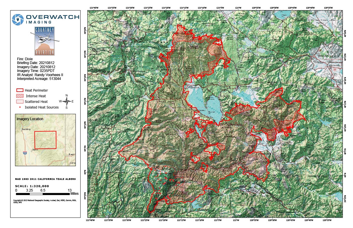
Flight Notes: Interpreted Acreage: 513,044
UTF due to smoke, Smoke layer extended up to 23000 ft and column up to 34000.
Note: both maps are 1,200 pixels wide
Thursday, August 12, 2021 - Above Map is the Dixie Fire Infrared Map for Today with Flight Notes.
Click Here for: California Dixie Fire Thursday, August 12, 2021 Updates
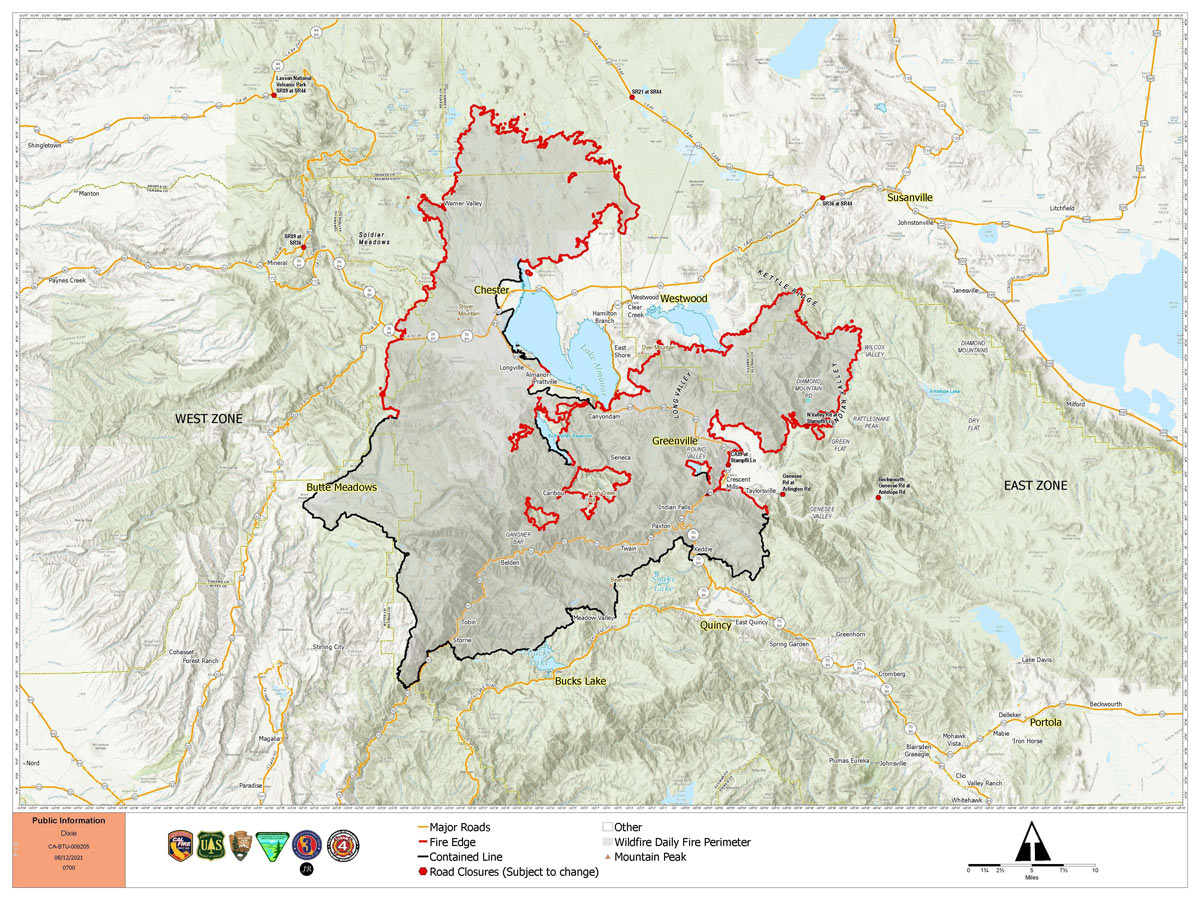
The below Map is the Public Information Map of the Dixie Fire for Today.


