


Evening Update Per CAL FIRE: California Caldor Fire is at 75,845 Acres, with 0% Containment, and 1,558 personnel assigned for Friday evening.
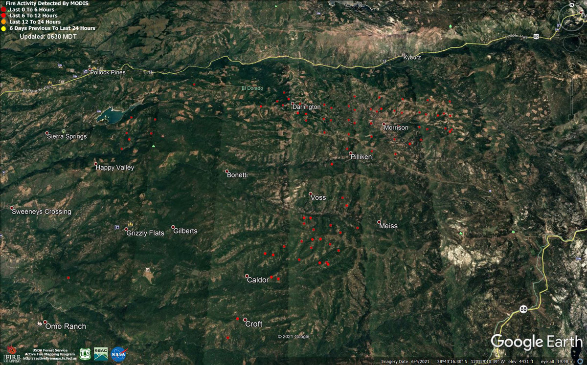
MODIS map of the Caldor Fire on Friday at 5:30 A.M PST
Note: 1,200 Pixels Wide - Note: Older Yellow not shown
MODIS Active Fire Mapping Program Frequently Asked Questions
Update: Caldor Fire Evacuations and Road Closures for Friday, August 20, 2021
Update: Caldor Fire Donation Information
The Caldor Fire Incident Management Team continues to receive inquiries into how and what donations firefighters and community members need. While the outpouring of support is truly appreciated, our Incident Command Post and incident base are set up to provide excellent logistical support, including food and other supplies, to first responders for the duration of the incident.
Despite best intentions, unsolicited donation items are not needed at this time and can unintentionally overwhelm relief locations, especially when donating food. Inside our incident bases, everything is carefully regulated by local health and safety ordinances, as well as strict adherence to COVID-19 regulations.
Any residents who wish to make donations are encouraged to contact your local relief organizations of choice to see if they are accepting donations. Recommendations would be the Red Cross and El Dorado Community Foundation. Residents are asked to be READY: Create and maintain defensible space and harden your home against flying embers. Get SET: Prepare your family and home ahead of time for the possibility of having to evacuate. Be ready to GO! Take the evacuation steps necessary to give your family and home the best chance of surviving a wildfire. Visit www.readyforwildfire.org for more information.
Update: Caldor Fire Virtual Community Meeting Set for 5:00 P.M. Tonight, August 20, 2021
Update: Smoke/Air Quality Outlook for the California Caldor Fire for Friday, August 20, 2021
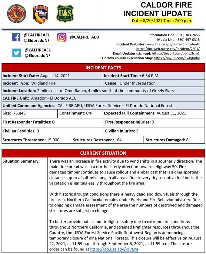
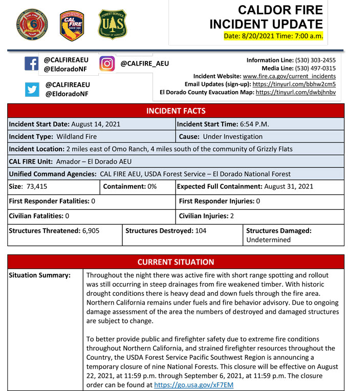
August 20, 2021 - Caldor Fire Update for Friday Morning, 73,415 acres.'Click' here to view full PDF
Basic Information
| Current as of | 8/20/2021, 7:14:35 AM |
| Incident Type | Wildfire |
| Cause | Under Investigation |
| Date of Origin | Saturday August 14th, 2021 approx. 07:00 PM |
| Location | 4 miles South of Grizzly Flats, 2 miles East of Omo Ranch |
| Incident Commander | CAL FIRE AEU, USDA Forest Service – Eldorado National Forest |
| Incident Description | Throughout The Night There Was Active Fire With Short Range Spotting And Rollout Was Still Occurring In Steep Drainages From Fire Weakened Timber. With Historic Drought Conditions There Is Heavy Dead And Down Fuels Through The Fire Area. Northern California Remains Under Fuels And Fire Behavior Advisory. Due To Ongoing Damage Assessment Of The Area The Numbers Of Destroyed And Damaged Structures Are Subject To Change. To Better Provide Public And Firefighter Safety Due To Extreme Fire Conditions Throughout Northern California, And Strained Firefighter Resources Throughout The Country, The Usda Forest Service Pacific Southwest Region Is Announcing A Temporary Closure Of Nine National Forests. This Closure Will Be Effective On August 22, 2021, At 11:59 P.m. Through September 6, 2021, At 11:59 P.m. The Closure Order Can Be Found At Https://go.usa.gov/xf7em Please Register For Code Red Through The Local County Sheriff’s Office El Dorado County Code Red: Https://ready.edso.org/ Amador County Code Red: Https://www.amadorsheriff.org/administration-division/codered |
| Coordinates | 38.584 latitude, -120.534 longitude |
Current Situation
| Total Personnel | 1,118 |
| Size | 73,415 Acres |
| Estimated Containment Date | Tuesday August 31st, 2021 approx. 12:00 AM |
| Fuels Involved |
Heavy timber. Steep terrain. |
| Significant Events |
EL DORADO COUNTY MANDATORY EVACUATIONS ORDERS: - Grizzly Flat: The areas on Grizzly Flats Road east of Kendra Way into Grizzly Flats Proper. The areas of Diamond Railroad Grade, Old School House, Sweeney Road, Caldor Road, and steely Ridge. • Grizzly Flats Road east of four corners in Somerset into Grizzly Flats Proper. - The areas of Myers Lane, Varmet Ridge Road, Rodwell Canyon Road, Snowbird Lane, and Mehwald Lane. • East of Sly Park Road between Highway 50 and Mormon Emigrant Trail to Ice House Road. This includes the communities of Pacific House and Fresh Pond. • North of Highway 50 ,east of Forebay Road to Ice House Road. • Intersection of Perry Creek and Hawk Haven , the East side of Fairplay Road from Perry Creek South to Cedarville Road. This includes Slug Gulch, Omo Ranch, and all roads off of Slug Gulch and Omo Ranch. • All roads off of Omo Ranch from Cedarville Road to Hwy 88. • The area between Highway 88 and Mormon Emigrant Trail • South of Highway 50 from Snows Road to Ice House Road. • Between Highway 50 and Slab Creek from Snows Road to Ice House Road. - South of Highway 50 from Ice House Road to Silver Fork Road. This includes the community of Kyburz. • North of Highway 50 from Ice House Road to Silver Fork Road to include Ice House Reservoir, Union Valley Reservoir, and Loon Lake. EVACUATION WARNINGS: -North of Slab Creek to Wentworth Springs Road between Sand Mountain and Loon Lake. • Mosquito Road from the bridge North to include the Community of Swansboro. • North of Highway 50 to Slab Creek between Smith Flat and Snows Road. • South of Highway 50 to Pleasant Valley between Smith Flat and Snows Road, and North of Pleasant Valley between Holm and Newtown. • South of Pleasant Valley between Bucks Bar Road and Newtown Road, East of Bucks Bar Road to Mt Aukum Road. • Southwest of Bucks Bar Road to Ladies Valley Road including the community of Outingdale, Ant Hill Road, Perry Creek Road and Sand Ridge between Ladies Valley Road and Bucks Bar Road. • East of Mt Aukum Road (E16) from Bucks Bar Road to Omo Ranch Road. North of Omo Ranch Road to the intersection of Omo Ranch Road and Fairplay Road. • South of Omo Ranch to the El Dorado County Line between Mt Aukum Road (E16) and Fairplay Road to include Coyoteville Road, Cedar Creek and all tributary roads. - North of Slab Creek to Wentworth Springs Road between Sand Mountain and Loon Lake. • Mosquito Road from the bridge North to include the Community of Swansboro. • North of Highway 50 to Slab Creek between Smith Flat and Snows Road. AMADOR COUNTY - EVACUATION WARNINGS - Shenandoah Road at the Amador County line west through the River Pines community, continuing west on Shenandoah Road to Ostrom Road. South on Ostrom Road to Jibboom Street, West on Jibboom Street to Fiddletown Road. East on Fiddletown Road to Hale Road. South on Hale Road to Shake Ridge Road. East on Shake Ridge Road to Charleston Road. South on Charleston Road to the intersection of Charleston Road and Rams Horn Grade. Due east to Highway 88 at Tiger Creek Road. Tiger Creek Road east to Salt Springs Reservoir Road. East on Salt Springs Reservoir Road to the east end of the Salt Springs Reservoir. Due north from the east end of Salt Springs Reservoir to Highway 88. SHELTER INFORMATION: Shelter open with availability - El Dorado Community Center 6139 Pleasant Valley Road El Dorado, CA Shelter Full Cameron Park CSD 2502 Country Club Drive Cameron Park, CA LARGE ANIMAL SHELTER: - Amador County Fairgrounds, 18621 Sherwood Street, Plymouth, CA 95669 (Empire Street Gate) SMALL ANIMAL SHELTER: - Call (530) 621-5795 |
Outlook
| Projected Incident Activity |
Current Weather
| Weather Concerns |
Red Flag Warning in effect until 8 PM Wednesday. Warm and dry conditions expected with low daytime relative humidities. Locally gusty west to southwest winds forecast today over the burn area. Winds are expected to become less gusty but quickly shift from the east to northeast tonight around 2200. Winds are forecast to increase and shift again back from the west Wednesday morning. |
Click here for: California Caldor Fire Thursday, August 19, 2021 Updates
