


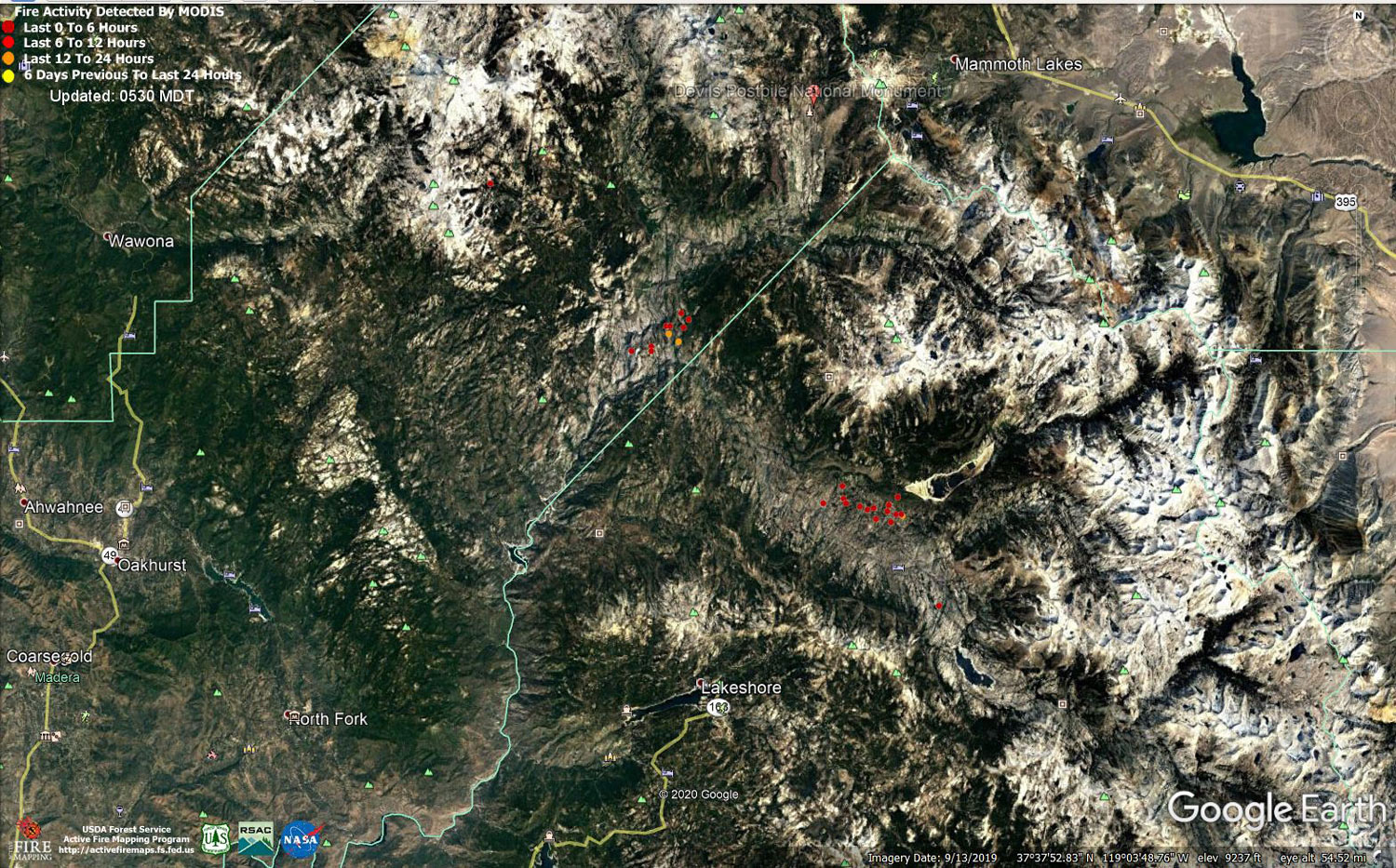
MODIS map of the Creek Fire on Friday at 4:30 A.M. PST
Note: 1,500 Wide and older yellow detections removed
MODIS Active Fire Mapping Program Frequently Asked Questions
Update for 7:00 P.M. CAL FIRE Evening Update for the Creek Fire: 331,966 acres and 49% containment.
'Click' here to view 5 page PDF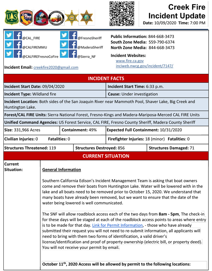
Update 7:00 P.M. (LIVE): Sierra National Forest to Hold a Creek Fire Livestream Incident Briefing with CAL FIRE on Friday, October 9, 2020
Update 4:25 P.M.: Sierra National Forest Creek Fire North Zone Operations Briefing Video for Friday, October 9, 2020
Update 12:18 P.M.: Sierra National Forest Creek Fire Operations South Zone Briefing Video for Friday, October 9, 2020
Update 9:20 P.M.: CAL FIRE California Statewide Fire Summary for Friday Morning, October 9, 2020
Update: 8:20 A.M.: Forest Service Wildland Fire Smoke/Air Quality Outlook Due to the Creek Fire in the Yosemite Area for October 9 & 10, 2020
Update 5:05 A.M.: Sierra National Forest Creek Fire Operations Map for Friday, October 9, 2020 - Shows Divisions, Uncontrolled Fire Edge, Completed Dozer Lines, Proposed Dozer Lines
October 9, 2020 - Overnight infrared mapping has the Creek Fire at 331,966 Interpreted Acres.
Comments and notes on flight:
Fire showed activity similar to yesterday: most of the growth and intense heat continue to be focused on the eastern peninsula. (Div. N) The northern perimeter of the fire continues to creep out in small pockets of intense heat, especially along Div. J and Div M.
Scattered heat signatures along the west and south are finally starting to show signs of cooling down.
Thursday Evening Update: 330,899 acres and 49% containment.
Sierra National Forest Creek Fire Updates for Thursday, October 8, 2020
