


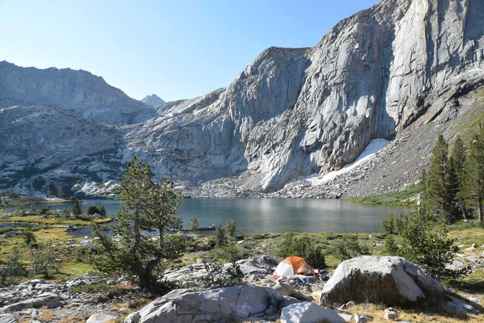
Spring Lake, in the wilderness of Sequoia National Park
Credit: NPS/Rebecca Paterson
July 30, 2021 - SEQUOIA AND KINGS CANYON NATIONAL PARKS, Calif. – Five known fires were ignited by lightning on July 29, 2021. These fires are located within the Sequoia and Kings Canyon National Parks Wilderness. Currently there are no threats to infrastructure, or public safety.
The following fires are being assessed by Park Managers. Red Spur is located Southwest of Junction Meadow. Sentinel is located South of Cedar Grove, off Sentinel Ridge and is in steep inaccessible terrain. This fire will be visible from Cedar Grove. Evelyn is located ¼ mile North of Evelyn Lake. Deer is in Mineral King Valley on the South side of the East Fork, near Deer Creek. This fire may be visible from Mineral King Valley. Timber is also located in Mineral King Valley near Timber Gap.
Fire behavior for all fires is creeping and smoldering through large dead and down ground fuels and burning in areas with large standing dead trees. The Park is using a confine and contain suppression strategy utilizing natural rock features, existing trails, hand line construction and other natural barriers as containment lines on all fires. By using this method fire managers are reducing exposure to firefighters and minimizing suppression impacts in the wilderness.
The park is working with the local air quality districts. Smoke will be visible near the fire area and from high country vistas however, smoke from regional wildfires in the state of California may affect visibility over the area.
All trails in the affected fire areas remain open. However, please use caution and follow all posted trail signs.
Fire updates will be produced once a week unless significant fire activity occurs. For the most up to date fire information follow the link to Inciweb at inciweb.nwcg.gov
Source: NPS
