Note: Click here for large map (9MB file size) of today's Operations Map for McKinney fire
Can zoom in and show much more detail!
Click here for large map (7MB file size) of today's Operations Map for China 2 fire
Click here for: Siskiyou County McKinney Fire and China 2 Fire Updates for Tuesday, August 2, 2022
Note: Map is 1,500 Pixels Wide.
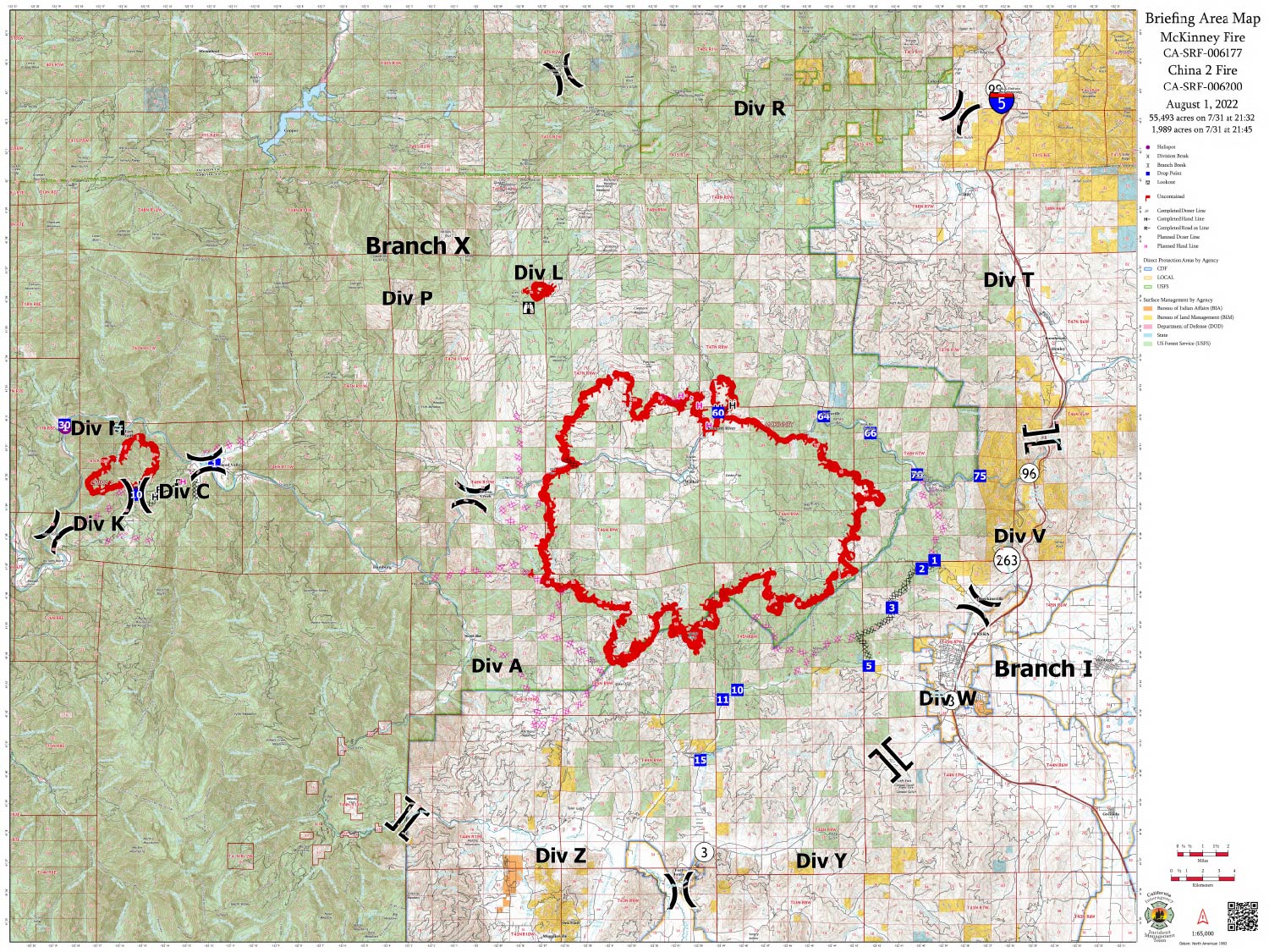
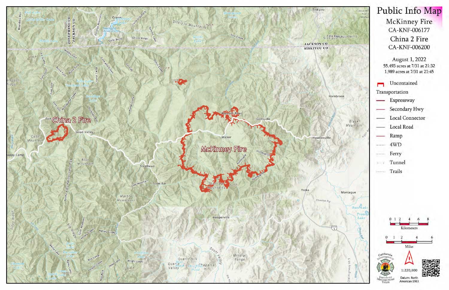
McKinney Fire: 55,493 Acres an Increase of 2,995 Acres since last mapping
Comments on Flight:
Tonight’s mapping used the incident’s wildfire daily perimeter pulled from NIFS at 2200 PDT. Data was from FIRIS flight earlier in the day.
Starting acreage was 52,498
Ending acreage 55,493
The fire is composed of intense heat along all edges with some scattered cooling visible within the fire interior. Cloud cover was present across the eastern portion of the fire. Areas of cloud impacts were identified as cloud cover within the geodatabase.
No isolated heat sources were mapped.
Below Map:Briefing Map for Monday, August 1, 2022
Shows Divisions, Dozer Lines, Hand Lines, Uncontrolled Fire Edge and Controlled Line