Click here for Wednesday Updates
Update: Dixie Fire East Zone Operations Evening Briefing Video for Tuesday, July 27, 2021
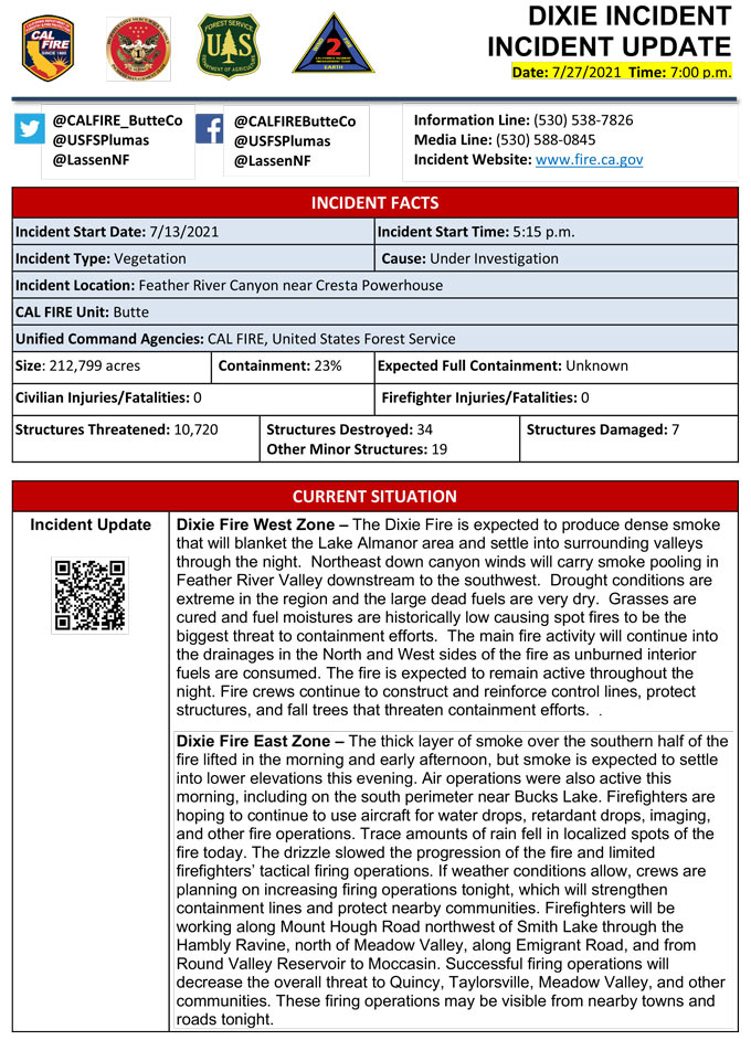
Evening Update Per CAL FIRE: Dixie Fire in Butte County and Plumas County is 212,799 acres and 23% contained for Tuesday evening.

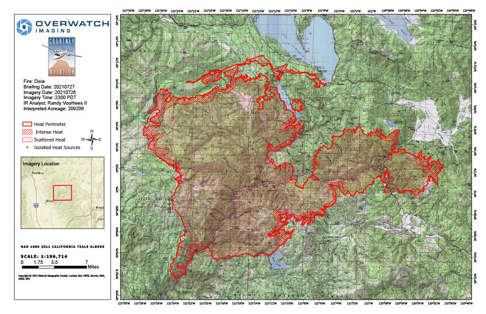
Dixie Fire Infrared Map for Tuesday, July 27, 2021
Note: 960 Pixels Wide
Flight Notes:
Fire continues to grow in most directions. Lots of aggressive spotting. No heat observed on back side of burnout operations.
Scattered heat remains through out most of the fire.
Update 9:44 A.M. Smoke/Air Quality Outlook for the Dixie Fire in the Eastern Sierra for Tuesday, July 27
Update 9:15 A.M. Dixie Fire East Zone Operations Morning Briefing Video for Tuesday, July 27, 2021
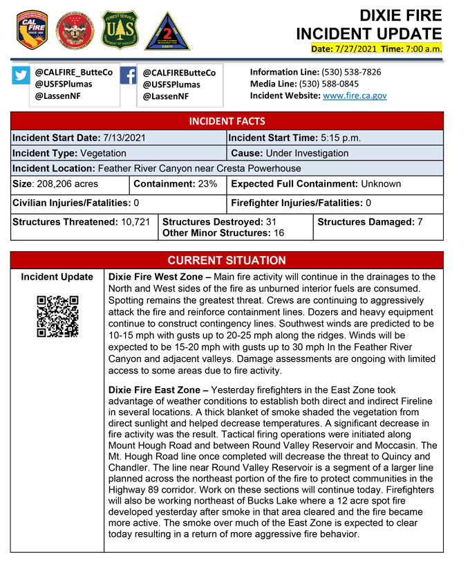
Update 7:43 A.M. CAL FIRE
'Click' here to view full PDF
Update: Dixie Fire in Butte and Plumas Counties Briefing Map for Tuesday, July 27, 2021 - Shows Divisions, Uncontrolled Fire Edge, Completed Dozer Lines
Basic Information
| Current as of | 7/27/2021, 6:42:47 AM |
| Incident Type | Wildfire |
| Cause | Under Investigation |
| Date of Origin | Tuesday July 13th, 2021 approx. 05:15 PM |
| Location | Feather River Canyon near Cresta Powerhouse |
| Incident Commander | CALFIRE Incident Management Team 1/California Interagency Incident Management Team 2 |
| Incident Description | Wildfire |
| Coordinates | 39.819 latitude, -121.419 longitude |
Current Situation
| Total Personnel | 5,105 |
| Size | 208,206 Acres |
| Percent of Perimeter Contained | 23% |
| Estimated Containment Date | Saturday July 31st, 2021 approx. 12:00 AM |
| Fuels Involved |
Timber (Grass and Understory) Chaparral (6 feet) |
| Significant Events |
Moderate Uphill Runs Flanking Backing Active during evening to early morning hours. Mild topography runs with flanking and backing occurring. |
Outlook
| Planned Actions |
Construct direct and indirect line to secure fire perimeter. Construct contingency lines in both zones. Provide structure defense in communities at risk: Indian Falls, Paxton, Greenville, Jonesville, Crescent Mills, Taylorsville, Canyondam, Twain and Greater Almanor area. East Zone: Conduct firing operations as conditions allows. Continue tactical patrol in the communities impacted by fire. |
| Projected Incident Activity |
Fire continues to move North and Northeast mainly in divisions G, I, J, L, M, N, O, Q, and R with the potential for 2-3 miles of new growth. The Eastern zone of the fire will continue to burn towards Taylorsville, Greensville, and Crescent Mills. The West zone will continue to burn towards Jonesville and Hwy 32. |
| Remarks |
California Interagency Incident management team 2 (CIIMT 2) has command of the East Zone. State DPA: 6551 Federal DPA: 190936 |
Current Weather
| Weather Concerns |
Periodic surges of monsoonal moisture will bring isolated thunderstorm chance to the fire area through the week. There is also a chance scattered light showers with a few embedded isolated nocturnal high based thunderstorms tonight through early Tue morning as another wave of mid-level moisture moves through. After a somewhat cooler day on Tue, temperatures will warm back to well above normal again for the second half of the week with RHs gradually drying. |
Click Here for: Dixie Fire in Butte and Plumas Counties Monday, July 26, 2021 Updates


