


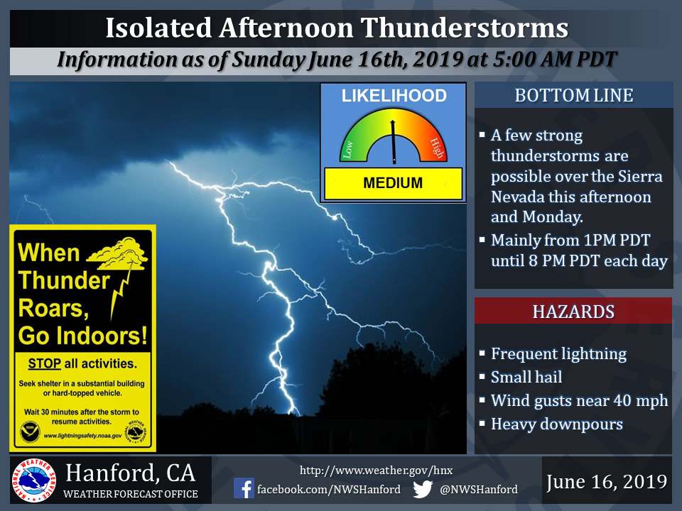
June 16, 2019 - The National Weather Service Hanford Office reports isolated strong thunderstorms are possible along the Sierra Nevada today and Monday.
Small hail and wind gusts near 40 miles per hour are a couple of hazards associated with strong thunderstorms.
In addition to dangerous cloud to ground lightning strikes, any thunderstorm can produce intense rainfall rates, leading to localized flooding.
  Area Forecast Discussion
  National Weather Service Hanford CA
  300 AM PDT Sun Jun 16 2019


  .SYNOPSIS...Little change in temperatures can be expected over
  the area today. Isolated afternoon thunderstorms are possible
  over the higher elevations of the Sierra Nevada today. Scattered
  thunderstorms are possible over the Sierra Nevada on Monday.
  Otherwise, dry weather will prevail through the period. A warm up
  is expected beginning on Monday into Thursday, with temperatures
  in the valley and desert once again getting above the century mark
  by Tuesday.

  &&

  .DISCUSSION...The weak upper shortwave that crossed Norcal on
  Saturday is now moving across the Great Basin and away from our
  area. Meanwhile, WV imagery is showing another fast moving
  shortwave approaching the Norcal coast which may bring increased
  cloud cover to the northern portion of our area later this morning
  and provide for enough orographic lift over the Southern Sierra
  Nevada for isolated thunderstorms this afternoon and evening.
  Temperatures will remain close to yday/s readings which were
  slightly above seasonal normals.

  A weak upper low is progged to drop southward through the area on
  Monday which will result in increased instability over the
  Southern Sierra Nevada which may enhance the potential for
  afternoon and evening showers and thunderstorms. WRF is continuing
  to indicate an easterly flow behind the upper low which may allow
  for some of the showers and thunderstorms to drift into the
  southern Sierra foothills and possibly the eastern portion of the
  San Joaquin Valley on Monday afternoon and evening.

  A large upper ridge is still progged to build eastward into the
  PAC NW and Norcal on Tuesday and Wednesday which will result in
  another round of much above normal daytime temperatures with
  daytime afternoon highs progged to exceed the century mark across
  much of the San Joaquin Valley and Kern County Deserts. Medium
  range models are in fairly good agreement indicating the ridge
  will weaken and break down by late week which will result in a
  cooling trend across the area.
Source: NWS

