


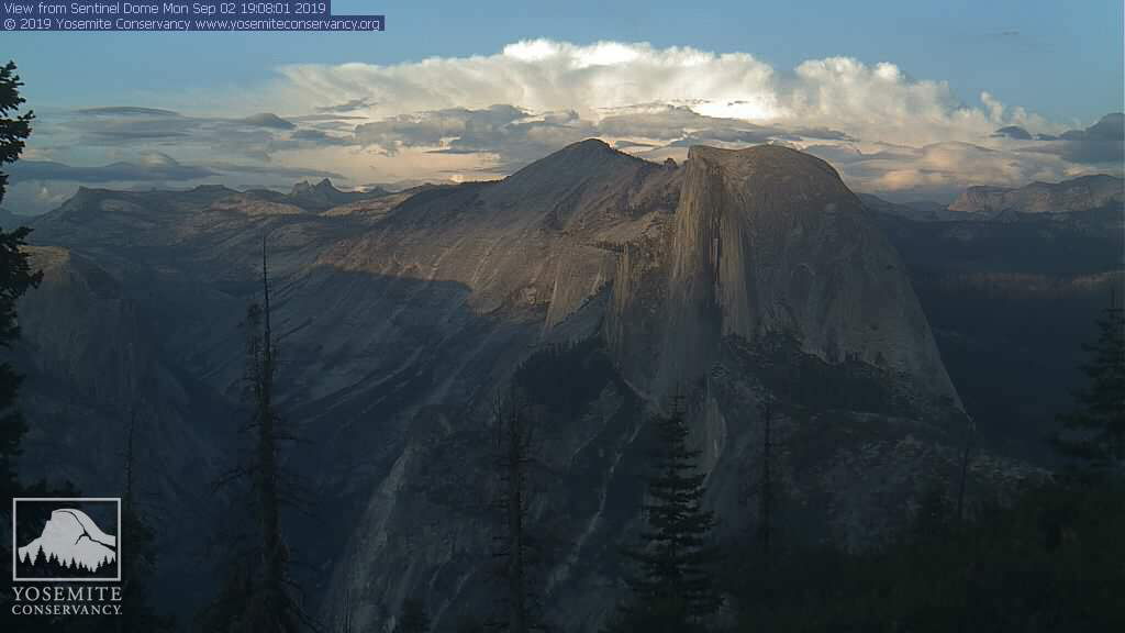
A photo from the Yosemite National Park webcam on Monday afternoon.
This webcam, located at about 8,000 feet in elevation, shows Half Dome and the surrounding high country.
(View a key of the peaks.)
You can help support this webcam and provide for the future of Yosemite by becoming a Friend of Yosemite today.
September 3, 2019 - The National Weather Service Hanford Office Afternoon report.:
  Area Forecast Discussion
  National Weather Service Hanford CA
  113 PM PDT Tue Sep 3 2019


  .SYNOPSIS...
  A few strong thunderstorms may impact the Southern Sierra Nevada,
  Kern County mountains, and Kern County desert each afternoon and
  early evening from today through Thursday. High temperatures
  today through Thursday will be five to eight degrees above normal
  for this time of year. A cooling trend is expected this weekend.

  &&

  .DISCUSSION...Convection has started over the Sierra as expected
  with some additional pockets over the San Emigdio, Tehachapi and
  Lake Isabella area mountains. Expect this to soon strengthen into
  isolated to scattered thunderstorms over the area this afternoon
  and early evening. Water vapor satellite imagery shows the center
  of high pressure over southern Arizona with southeast flow
  extending into Kern County and the Southern Sierra. Meanwhile low
  pressure is center along 35N/132W with a trough of low pressure
  extending east towards 125W.

  Over the next few days, models show the Pacific low moving slowly
  east across 130W with the ridge remains stationary over Arizona
  and southeast California. The low then becomes stationary west of
  the Northwest California coast on Thursday and this begins to
  shift the flow aloft over Central California to the south and then
  southwest. Given this scenario, afternoon and evening
  thunderstorms are again possible over the mountains both Wednesday
  and Thursday afternoons.

  On Friday the low lifts northeast across Oregon and dry southwest
  flow into Central California ends the threat of thunderstorms over
  the Sierra. Much cooler weather will occur this weekend as a
  trough of low pressure pushes through the area. A weak trough of
  low pressure remains over the area into early next week for
  continued cooler than normal weather.
Source: NWS

