


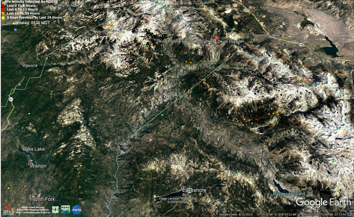
MODIS map of the Creek Fire on Friday at 4:30 A.M. PST
Note: 1,500 Wide and older yellow detections removed
MODIS Active Fire Mapping Program Frequently Asked Questions
Update 8:15 P.M.: Sierra National Forest Creek Fire Evening Operations Briefing Video for Friday, October 30, 2020
Update 2:40 P.M.: Sierra National Forest Creek Fire Operations Briefing Video for Friday Morning, October 30, 2020
Update 9:15 A.M.: Forest Service Wildland Fire Smoke/Air Quality Outlook Due to the Creek Fire in the Yosemite Area for October 30 & 31, 2020
Update 8:35 A.M.: CAL FIRE Morning Update for the Creek Fire: 379,571 acres and 70% containment.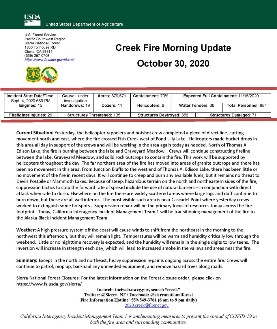
Update 8:20 A.M.: Sierra National Forest Creek Fire Operations Briefing Video for Thursday Evening, October 29, 2020
Note this is for Thursday Evening and was released this morning.
Update 5:55 A.M.: Sierra National Forest Creek Fire Public Information Map for Friday, October 30, 2020 - Shows Contained Line and Uncontrolled Fire Edge
October 30, 2020 - Overnight infrared mapping has the Creek Fire at 379,011* Interpreted Acres.
Comments and notes on flight:
The northern half of the fire was flown and the southern half was not. There is heat down through to the southern area of coverage, so it may be desired to fly the whole fire the next day.
All sides are still active to varying degrees. The most active heat and perimeter growth is in the northeast. The northern edge going to the west is also active and growing but not as much. The lower western edge and eastern edge have small areas of heat and small perimeter growth.
* Today we used a new starting perimeter that was provided by the team. This perimeter was smaller acreage than previous days NIROPS perimeter because of how islands, coves and inlets were counted. The change in acres is the growth from this new team perimeter, not the difference from yesterday’s NIROPS acreage.
Thursday Evening Update: 379,571 acres and 70% containment.
Sierra National Forest Creek Fire Updates for Thursday, October 29, 2020

