


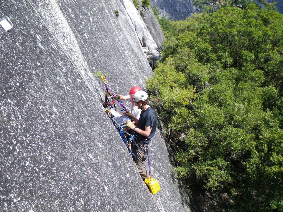
Yosemite National Park geologist Greg Stock and USGS civil engineer Brian Collins download data from instruments measuring how much granitic exfoliation sheets move from daily temperature variations as a precursor to rock fall. Photo credit: Valerie Zimmer, National Park Service file photo
July 8, 2019 - Recent earthquakes centered near Ridgecrest, CA, were strongly felt in and around Yosemite Valley. The largest of these, a magnitude 7.1 earthquake at 8:19 pm on July 5, caused shaking of the floor of Yosemite Valley that lasted tens of seconds. Despite this shaking, it seems that there were not any rockfalls triggered by these earthquakes (please let me know if you know otherwise!).
Earthquakes are one of the most reliable rockfall triggers in Yosemite. At 2:30 am on March 26, 1872, John Muir awoke to strong ground shaking, and, stepping outside of his cabin, observed a large rockfall sweeping down the cliff behind the Chapel (he could see it in the dark because of the sparking produced by pulverizing quartz). The Lone Pine earthquake, centered in the southern Owens Valley, was estimated to have been at least magnitude 7.4, and possibly as high as magnitude 7.9. Nine other large rockfalls were triggered by that earthquake, including one from Liberty Cap that generated an airblast that knocked Snow's Hotel (formerly near the base of Nevada Falls) off of its foundation.
More recently, a series of earthquakes May 25-27, 1980, centered near Mammoth Lakes, CA, triggered many rockfalls in Yosemite Valley. The largest of these, a magnitude 6.3, triggered rockfalls from above the Sierra Point Trail, causing injuries and leading to the permanent closure of that trail.

